Location Map Coordinates 35.886028, 14.549352
A major British coastal artillery position above the shoreline east of the Grand Harbour approaches. Built in the late Victorian era and later reused during WWII, the battery is now under active restoration management. Coordinates: 35.886028, 14.549352.
Construction timeline
Design & armament
WWII & later use
Renovation & restoration
Heritage protection
Visiting & map
FAQ
Overview
Delle Grazie Battery (also commonly written “Della Grazie Battery” and known as Xgħajra Battery) is a late-19th-century British coastal fortification built to defend the seaward approaches near the Grand Harbour area. It sits between Fort Saint Rocco and Fort Saint Leonardo. It is recorded as built between 1888 and 1893.
Naming note: “Delle/Della Grazie” appears in different sources. This page uses “Delle Grazie Battery” to match common local and media usage.
Construction timeline
Confirmed build period (best-supported): completed in 1893, with formal approval in May 1888 and works reported as commencing in 1889 (some summaries cite a start in late 1888). publishes: “Approved 1888; built 1888/1889–1893.”
Why it was built
The battery belongs to the wave of British defensive upgrading in Malta’s coastal fortifications as artillery technology advanced in the late 19th century. It was designed for breech-loading guns and constructed as part of a broader defensive project in the area.
Earlier landmark: the Delle Grazie coastal tower
Multiple sources explain that the battery’s name derives from a nearby earlier coastal tower — the Santa Maria delle Grazie tower (a Wignacourt tower). The Scouts’ history notes this tower was built in 1620, and the battery was sited near it.
Design and armament
Polygonal fort style
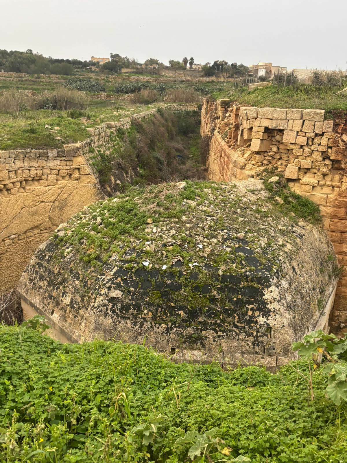
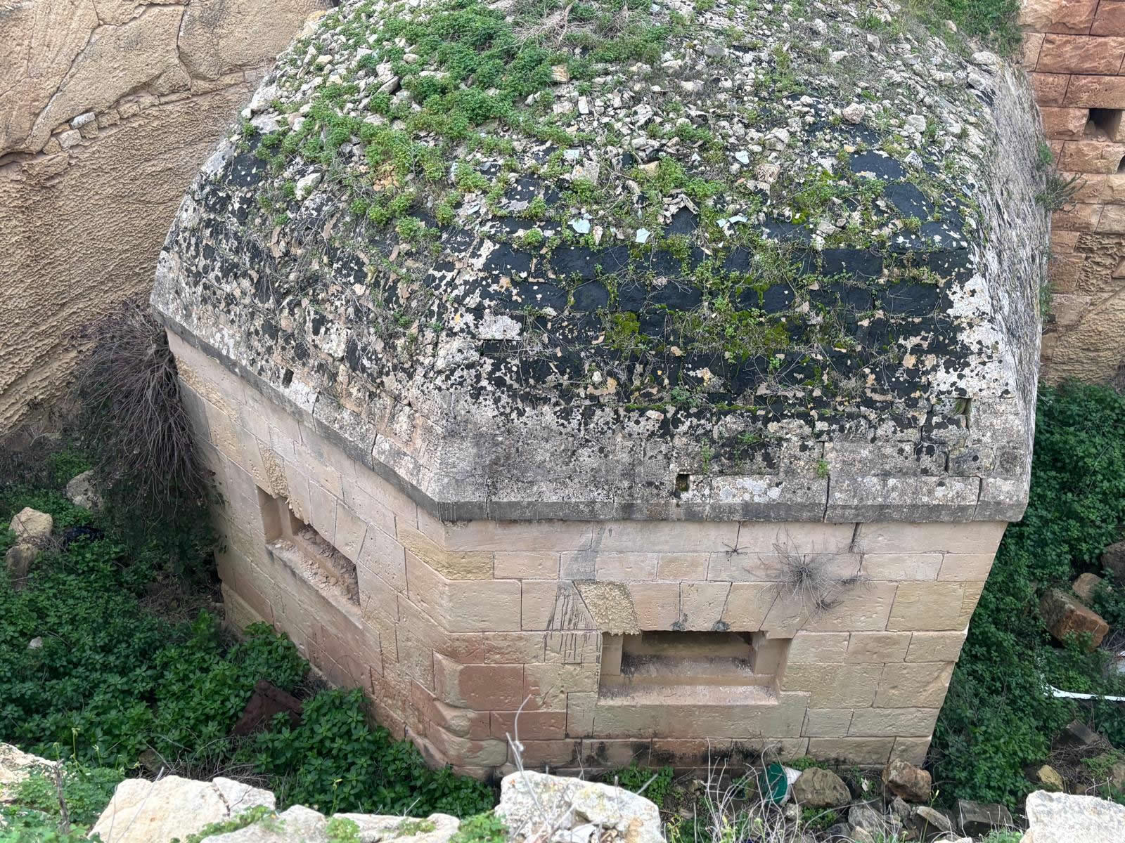
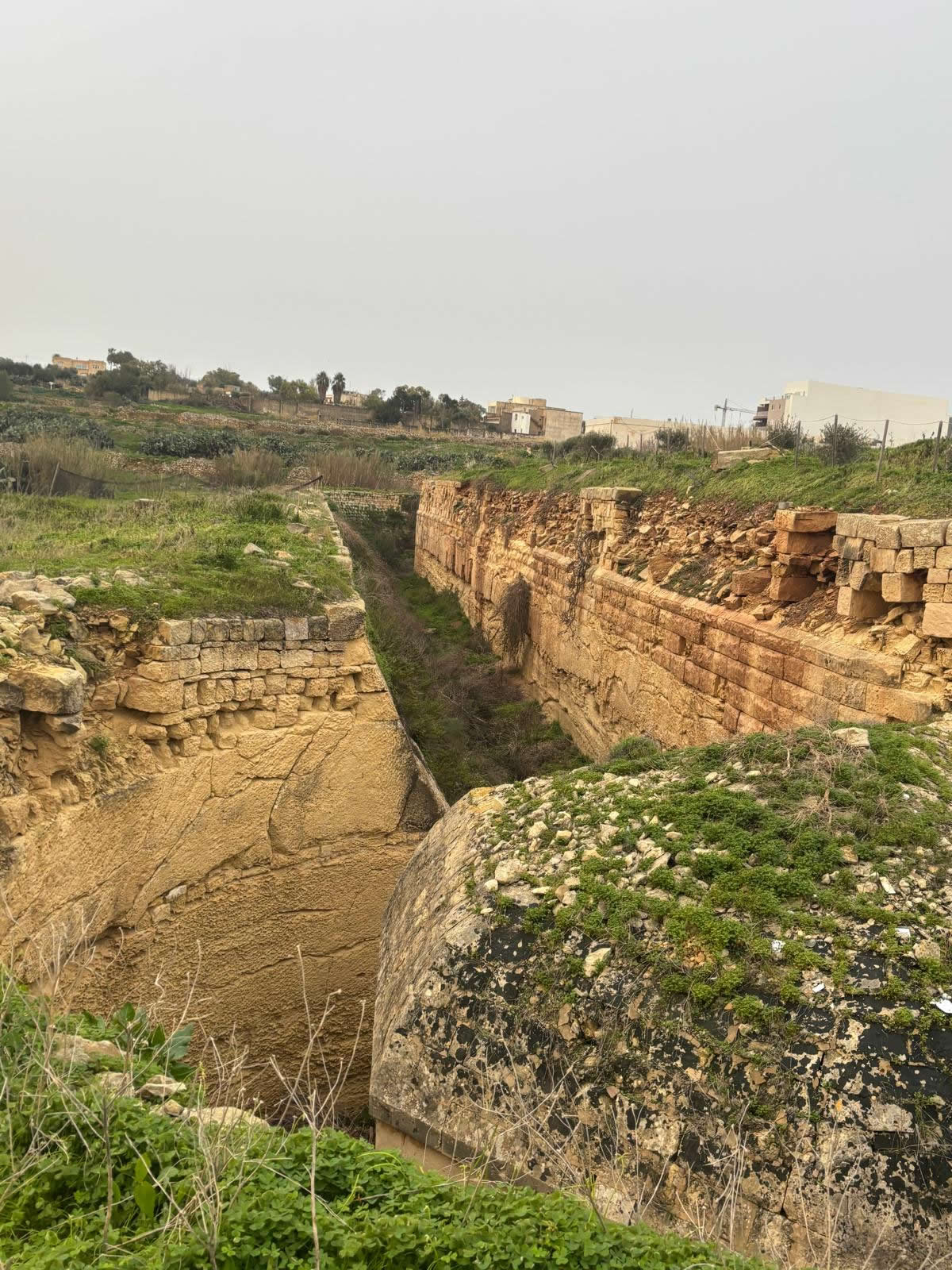
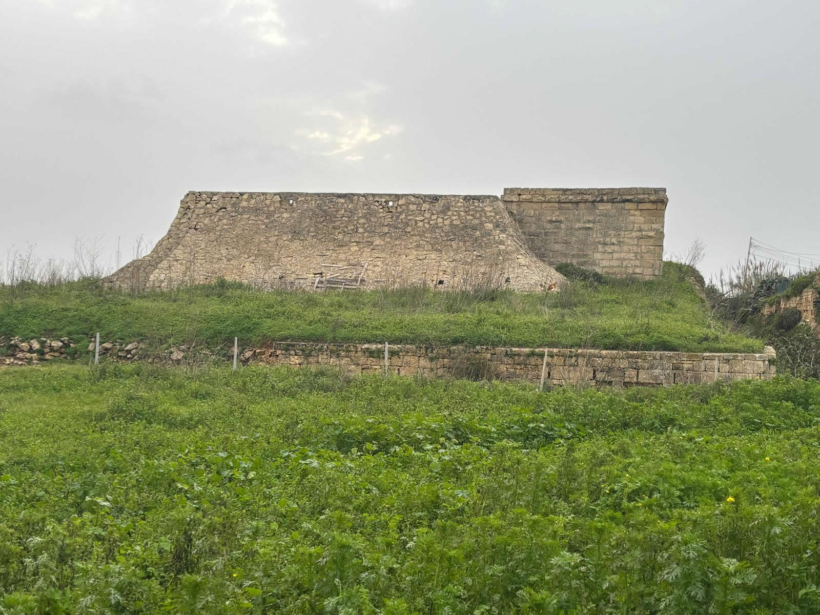
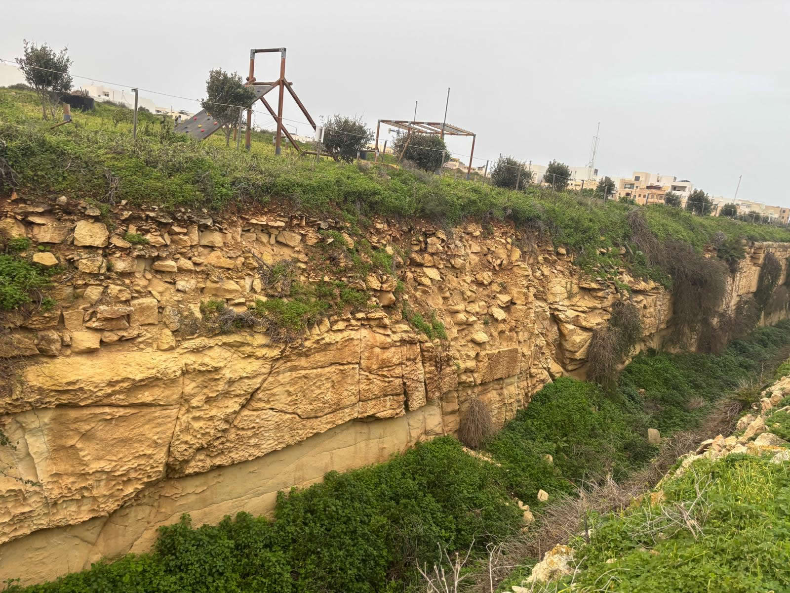
Delle Grazie Battery is described as a polygonal fortification with an irregular plan, surrounded by a ditch, with defended entrances and features such as caponiers for ditch defence.
Guns and disappearing mounts
Descriptions of the battery’s Victorian armament include two 10-inch and two 6-inch breech-loading guns in disappearing mounts—reflecting the era’s emphasis on powerful coastal artillery with reduced exposure of crews and guns.
How the site reads today
Even when not open as a typical visitor attraction, the battery’s earth-and-stone geometry is legible: the ditch lines, the protected land front, and the broad platform footprint are key to understanding how the position functioned.
WWII and later use
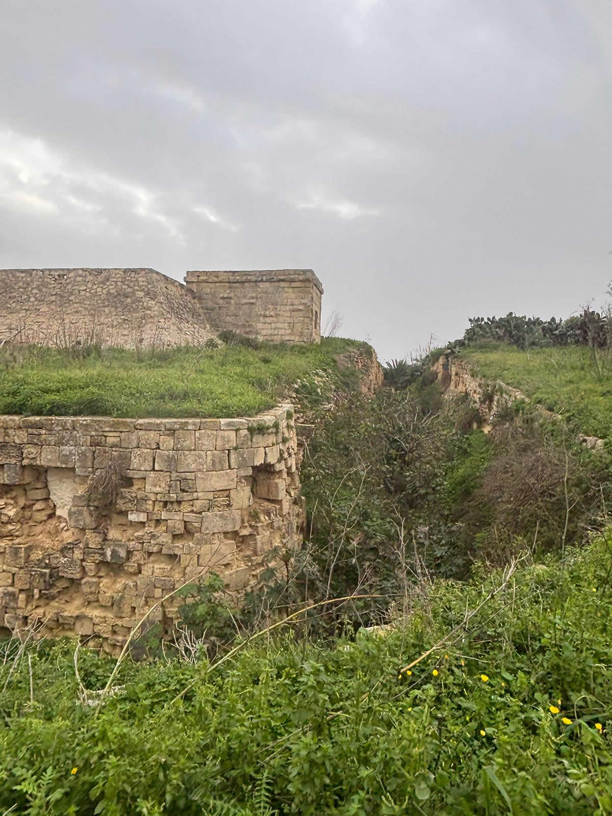
The battery was abandoned as a gun battery in the early 20th century, but it saw renewed use during the Second World War when it was used for coastal defence-related purposes (including searchlight activity, with additional structures added).
Renovation and restoration
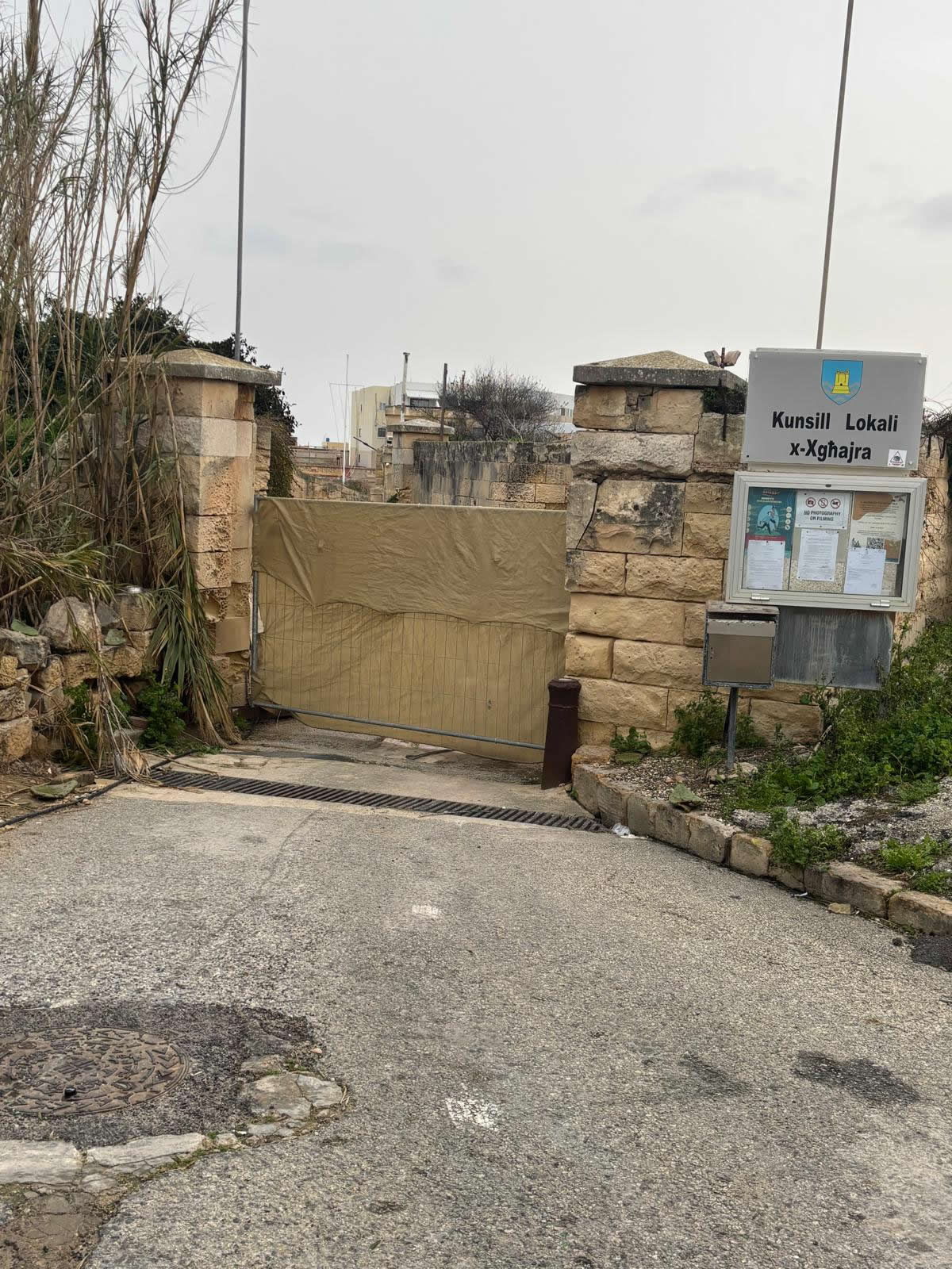
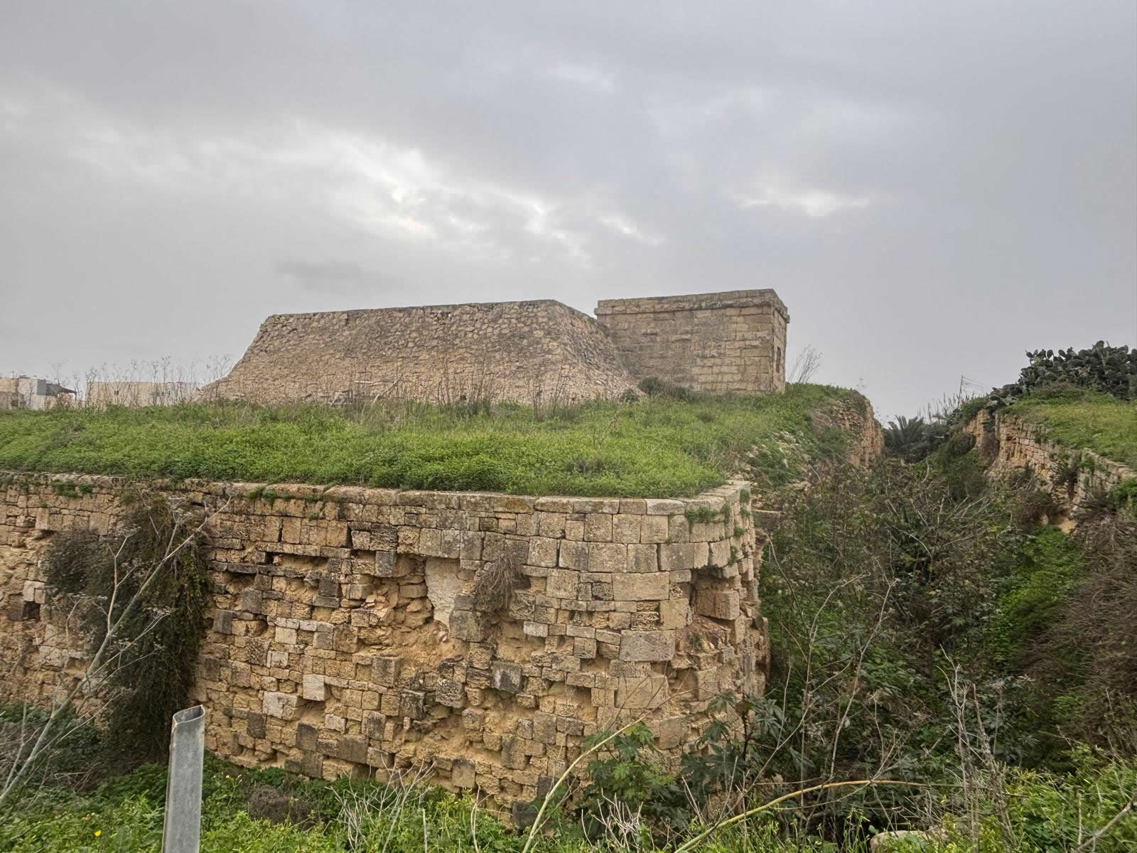
In the present day, the battery’s management and upkeep are described as being overseen through an agreement involving the Xgħajra Scout Group, with restoration financed through fundraising and organised activities (including “At the Fort” events).
- Vegetation control and clearing of drainage paths
- Repair of masonry edges, entrances, and safety-critical sections
- Stabilisation of internal rooms and access routes used by the site managers
- Interpretation initiatives via guided/open events where feasible
Heritage protection
In 2024, the Planning Authority granted heritage protection to a group of British-era coastal batteries, with Delle Grazie Battery listed among those given Grade 1 scheduling (the highest level of protection).
Visiting and map
Coordinates: 35.886028, 14.549352
Tip: paste the coordinates into your maps app: 35.886028, 14.549352.
FAQ
When exactly did construction start?
Public summaries differ: approval is given as 31 May 1888, while commencement is reported as 1889 in some accounts, and late 1888 in others; all agree the battery was completed in 1893.
Who manages the battery today?
It is described as being under a management agreement involving the Xgħajra Scout Group, which supports restoration and runs fundraising/engagement initiatives.
Why is it important?
Delle Grazie Battery is part of Malta’s late-Victorian coastal defence network and reflects British-era fortification design. Its Grade 1 scheduling recognises its architectural and historic value.
© emalta.com • Explore more batteries in Malta