Location Map Coordinates 35.892843, 14.537701
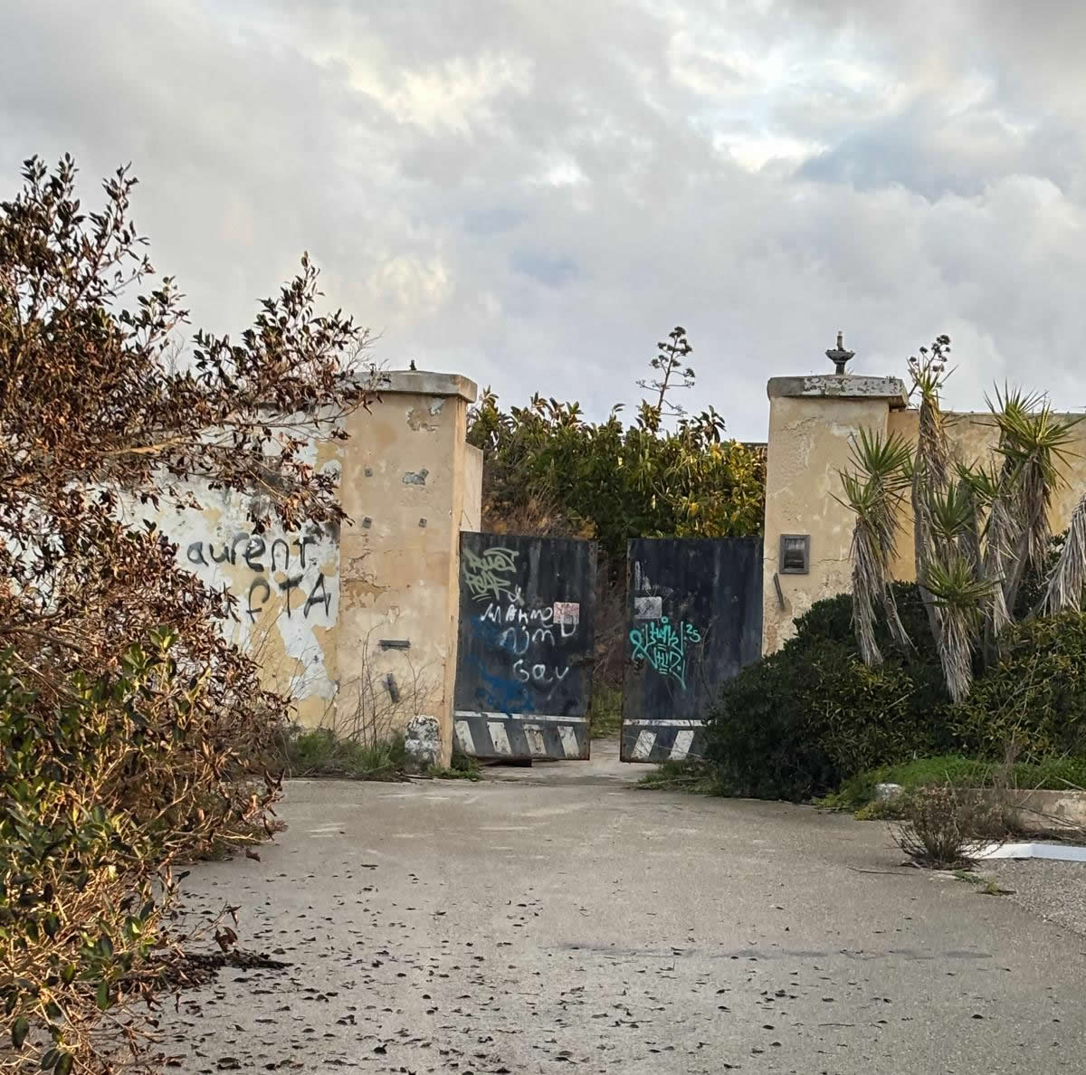
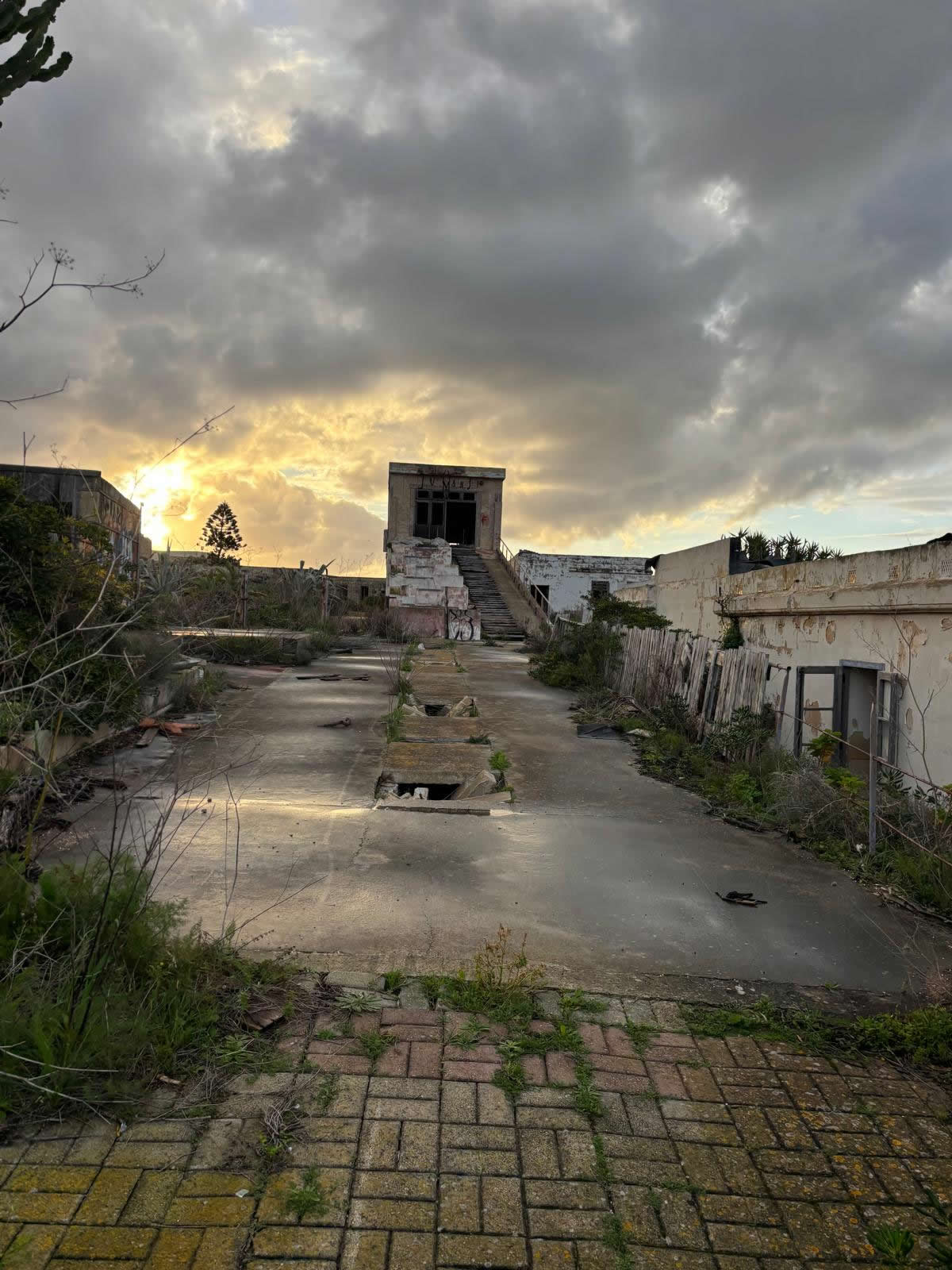
Fort Saint Rocco is a British polygonal (“flankless”) fort built to strengthen coastal defence on the eastern side of Malta’s Grand Harbour approaches. It was first constructed in 1872–1873, substantially rebuilt in 1900, and remained in military use into the 1950s.
At a glance
- Type
- Polygonal (flankless) fort, British period.
- Location
- Kalkara, Malta — east of Rinella Battery and seaward of the hamlet of Santu Rokku.
- Key build dates
- 1872–1873 (first fort), 1900 (major rebuild).
- Origins of the site
- Built on/near the earlier San Rocco Battery raised during the 1798–1800 blockade period.
- Strategic purpose
- Part of a British coastal defence complex guarding the coast east of the Grand Harbour entrance.
- Wartime note
- Recorded action on 17 May 1942 against attacking Italian E-boats.
- Access
- Generally not open to the public.
- Coordinates
- 35.892843, 14.537701
History & key dates
Fort Saint Rocco belongs to the late-19th-century British programme to modernise Malta’s defences in response to changing naval technology. The fort’s construction is linked to recommendations made in the 1866 defence review associated with Colonel Jervois, leading to new “polygonal” works designed to resist modern artillery.
Chronology
- 1798–1800 — The broader area saw the creation of insurgent batteries during the French blockade, including the historic San Rocco Battery associated with this site.
- 1866 — Defence modernisation recommendations (Jervois-era programme) that shaped later coastal fort construction.
- 1872–1873 — Fort Saint Rocco is first built by the British as a compact polygonal fort.
- 1888 — Inspections describe the early fort as cramped; significant alterations become likely.
- 1900 — The original work is largely replaced: a larger fort is constructed on the same footprint, creating the fort’s later form.
- 17 May 1942 — WWII coastal action recorded: the fort fires on attacking Italian E-boats and reportedly destroys one of them.
- 1950s — Fort remains a military establishment into the post-war period, after which active use declines.
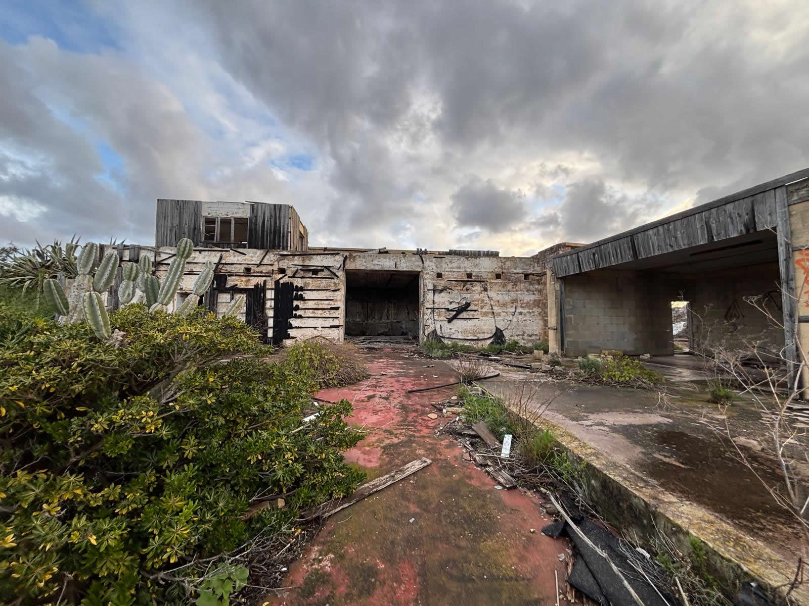
- Present day — The fort survives intact near the SmartCity Malta area and is generally closed to public entry.
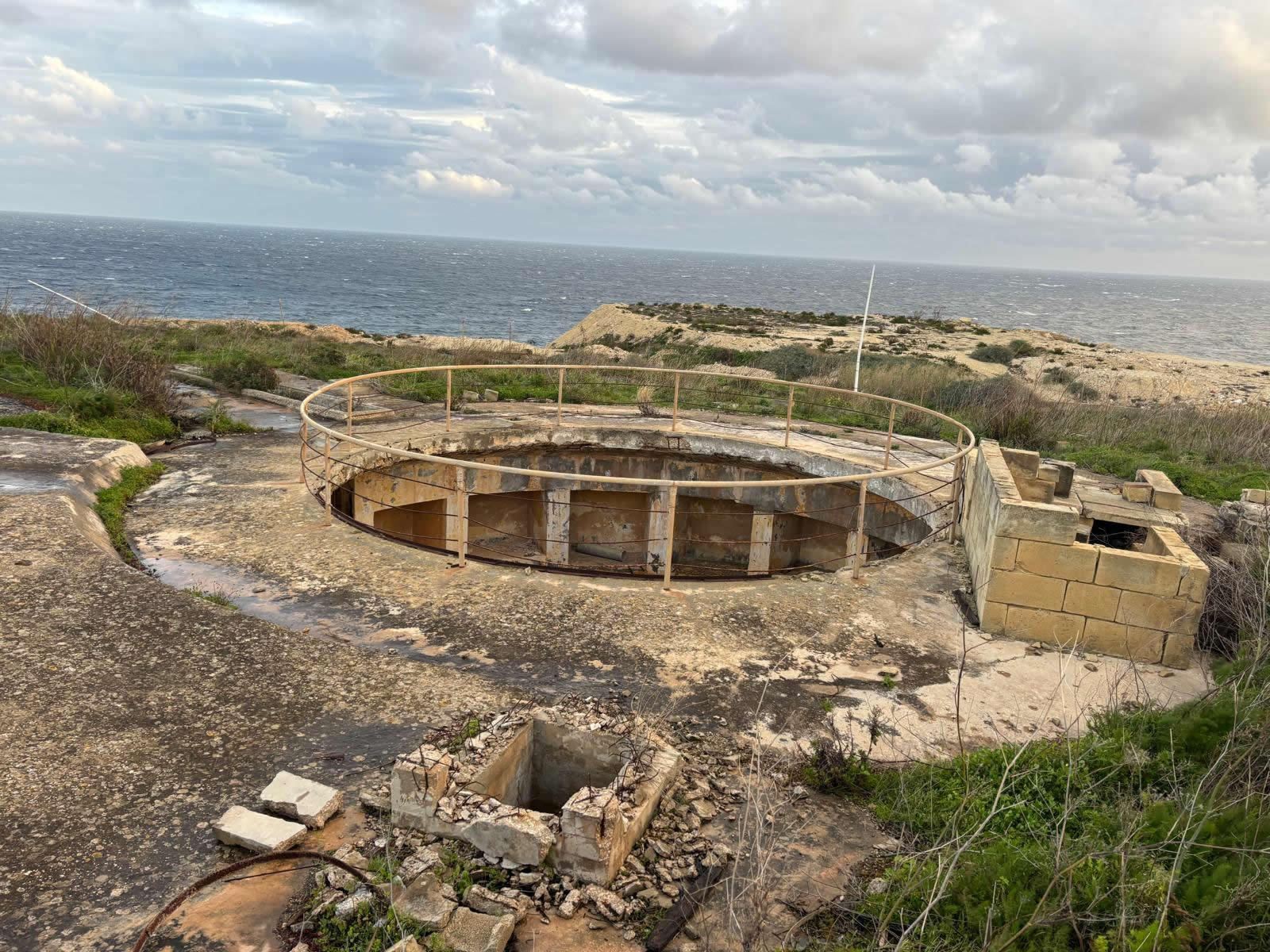
Construction & design
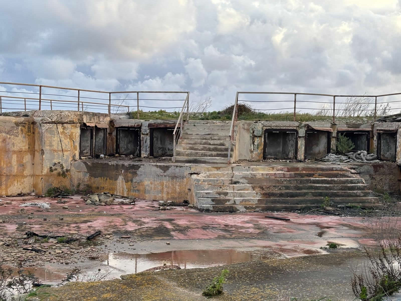
Fort Saint Rocco is described in standard references as a polygonal (often called “flankless”) fortification. Unlike earlier bastioned forts that relied on projecting bastions for flanking fire, polygonal forts typically use a low, angular perimeter, a protected ditch, and carefully placed firing positions to reduce exposure to modern artillery and provide controlled fields of fire.
Two main building phases
- First phase (1872–1873): a comparatively small fort for a strategically important coastline position, initially equipped for heavy muzzle-loading artillery.
- Second phase (1900 rebuild): the keep and much of the earlier battery are removed and replaced with a larger, updated fort configured for newer breech-loading coastal guns.
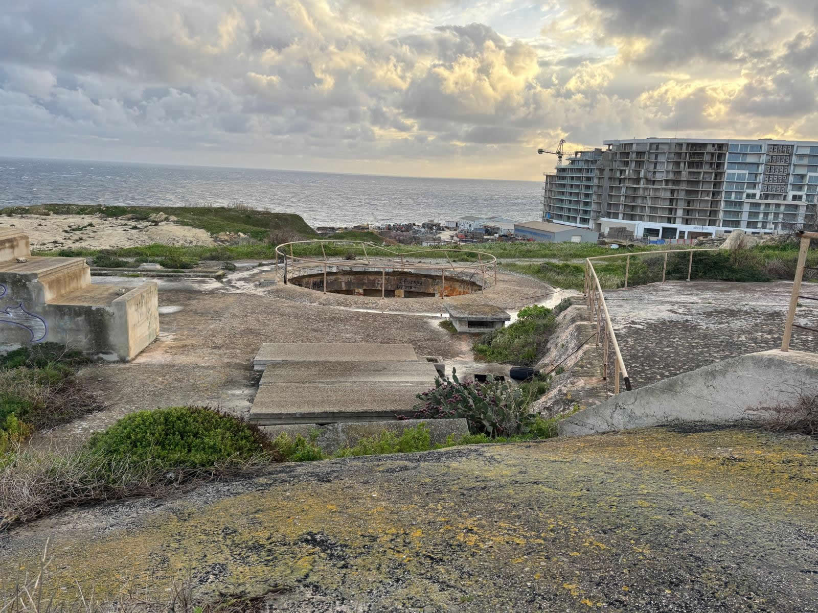
Armament & coastal-defence role
Sources describe the fort’s armament evolving with technology. The 1870s fort began with heavy RML (rifled muzzle-loading) guns (initially 11-inch, later upgraded to 12.5-inch in common summaries). After the 1900 rebuild, the fort is commonly associated with BL 9.2-inch coastal guns for long-range sea denial in the approaches to the harbour.
Why this coastline mattered
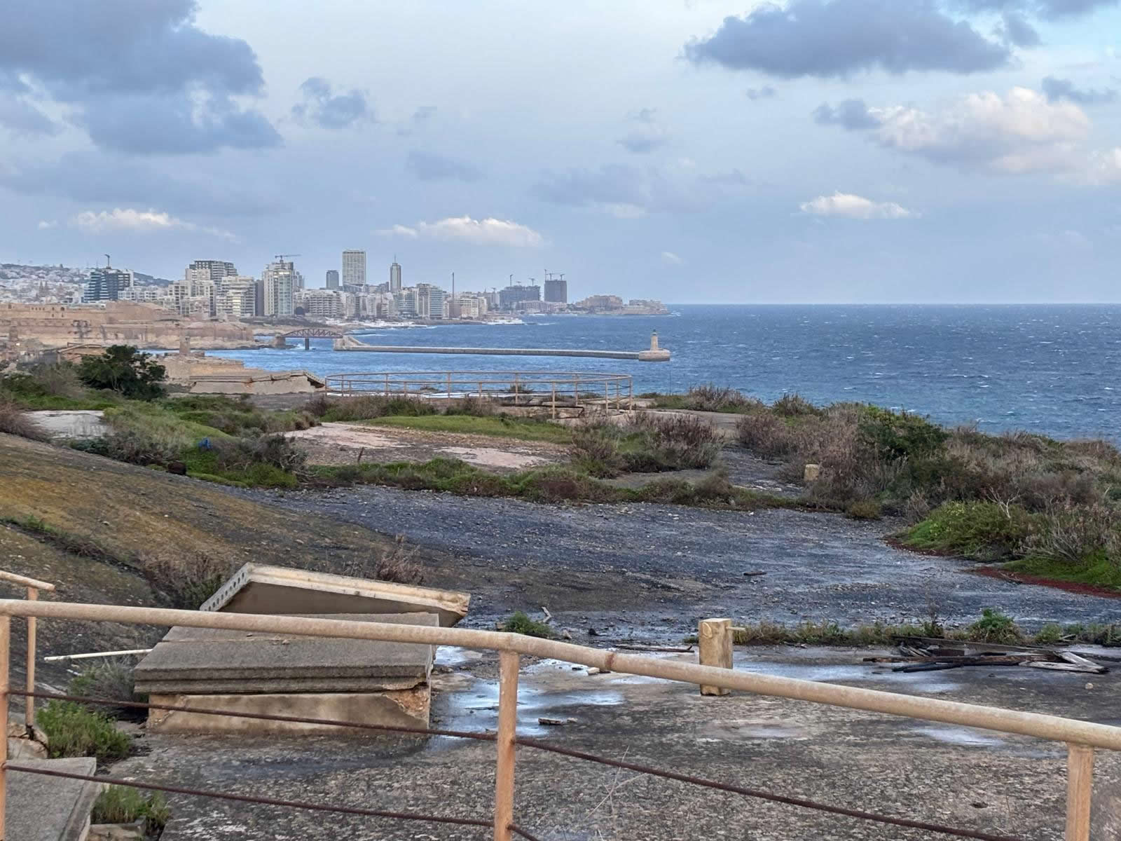
- Grand Harbour approaches: a critical naval base area that required layered protection from seaborne attack.
- Complementary defences nearby: Fort Saint Rocco formed part of a wider network including nearby batteries and forts along the same coastline.
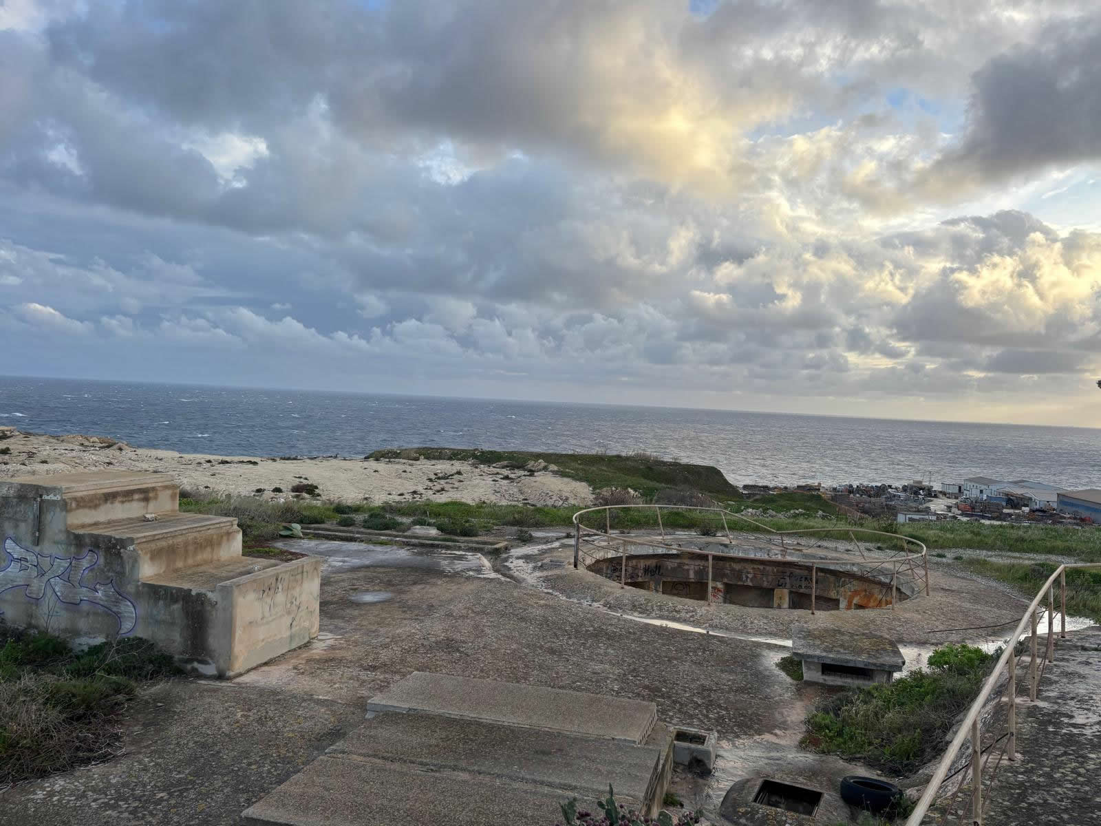
Use today & visiting
Fort Saint Rocco remains standing and largely intact, but it is usually not open to the public. The site lies close to modern development in the Kalkara area; published summaries note that construction in the vicinity took care to avoid damage to the fort.
Location
Coordinates: 35.892843, 14.537701
Map: Directions and satellite view
© Emalta. Heritage information compiled for educational purposes.