Location Map Coordinates 35.900663, 14.330677
Baħrija, Malta Coordinates: 35.900663, 14.330677 Coastal landmark Salt pans & rock-cut steps
Brief overview
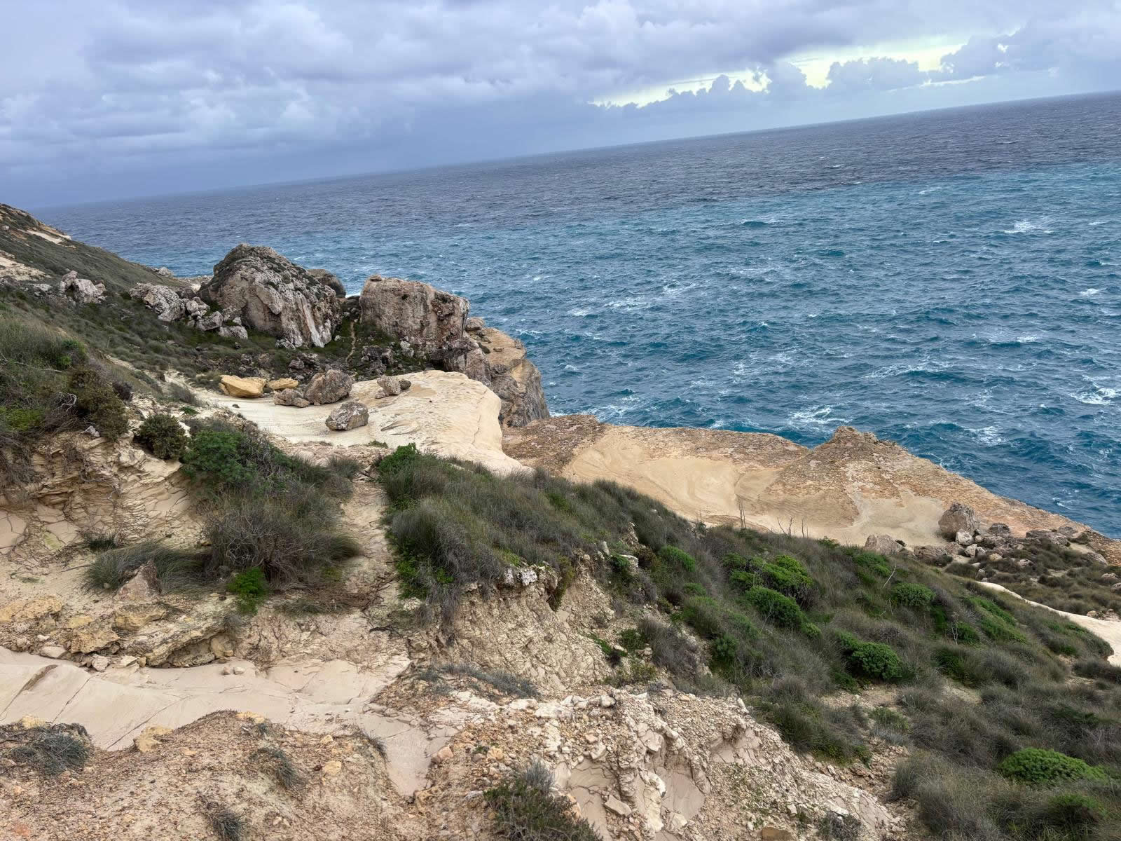
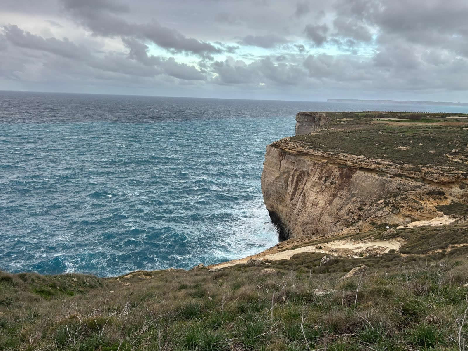
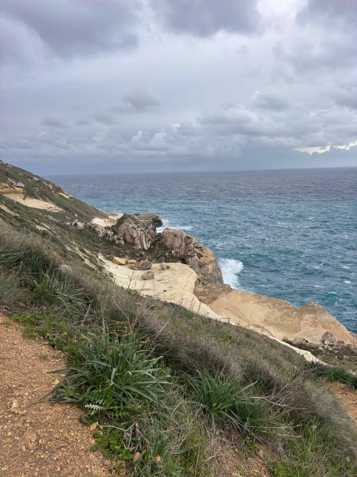
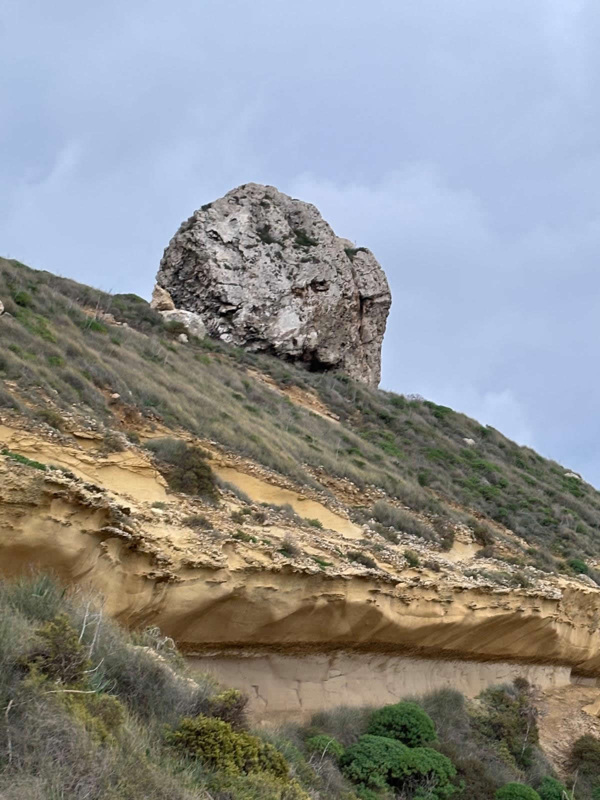
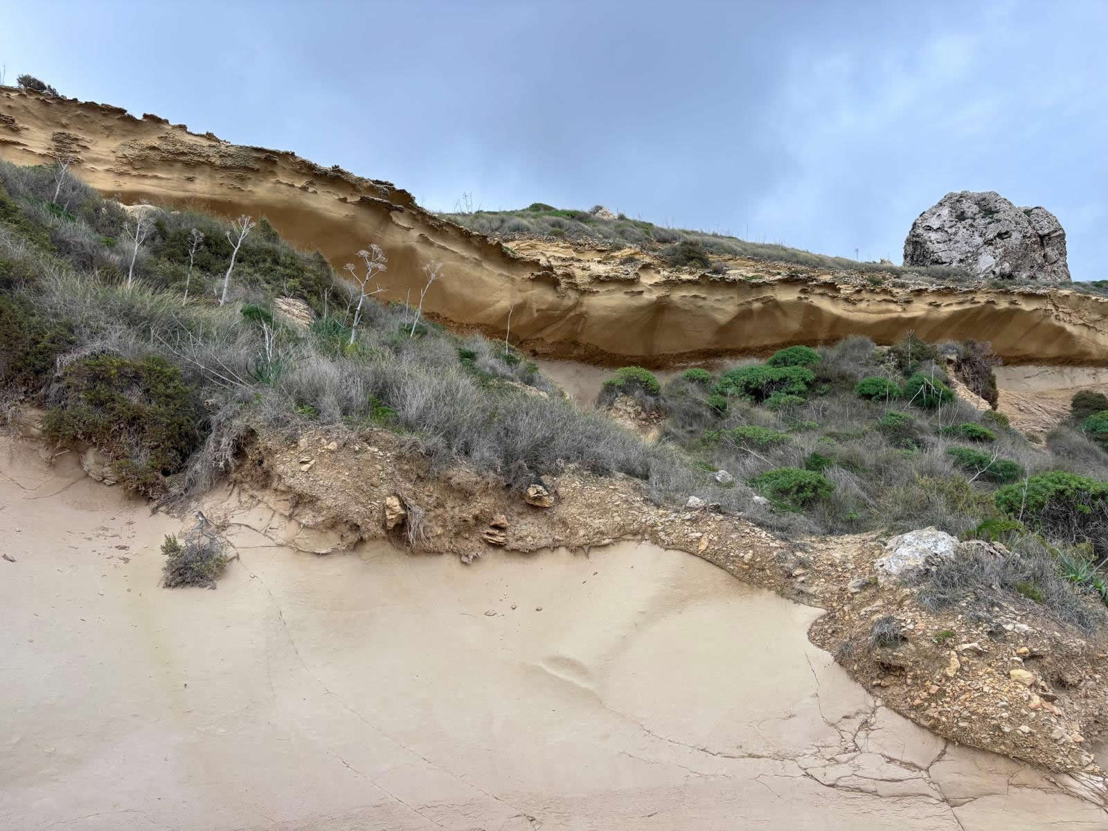
Blata tal-Melħ is a striking stretch of coastline on Malta’s north-west, close to Baħrija/Rabat. Its name means “the Salt Rock” and is linked to salt-related deposits and rock-cut salt pans in the limestone.
The site is valued for its wild scenery: layered limestone, weathered boulders, and curious hand-cut steps and stairways that lead across the rock and, in places, appear to run “straight into the sea.”
History and use
- Salt harvesting: the area is associated with salt pans cut into the rock—small-scale coastal “work landscapes” that left a visible mark.
- Coastal access: rock-cut steps and carved routes reflect practical movement across difficult shoreline terrain.
- Today: visited mainly by hikers and nature lovers seeking a remote, less-developed coastal experience.
Visiting tips
- Expect a steep approach: access is on foot via uneven ground; allow extra time for the return uphill.
- Go prepared: sturdy footwear, water, and sun protection; avoid after rain if rocks are slippery.
- Respect the site: do not damage salt pans/rock-cut features; carry out all litter.