Historical Overview
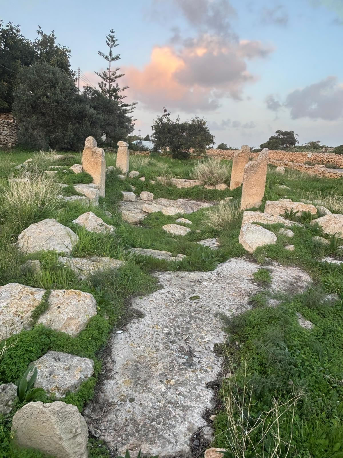
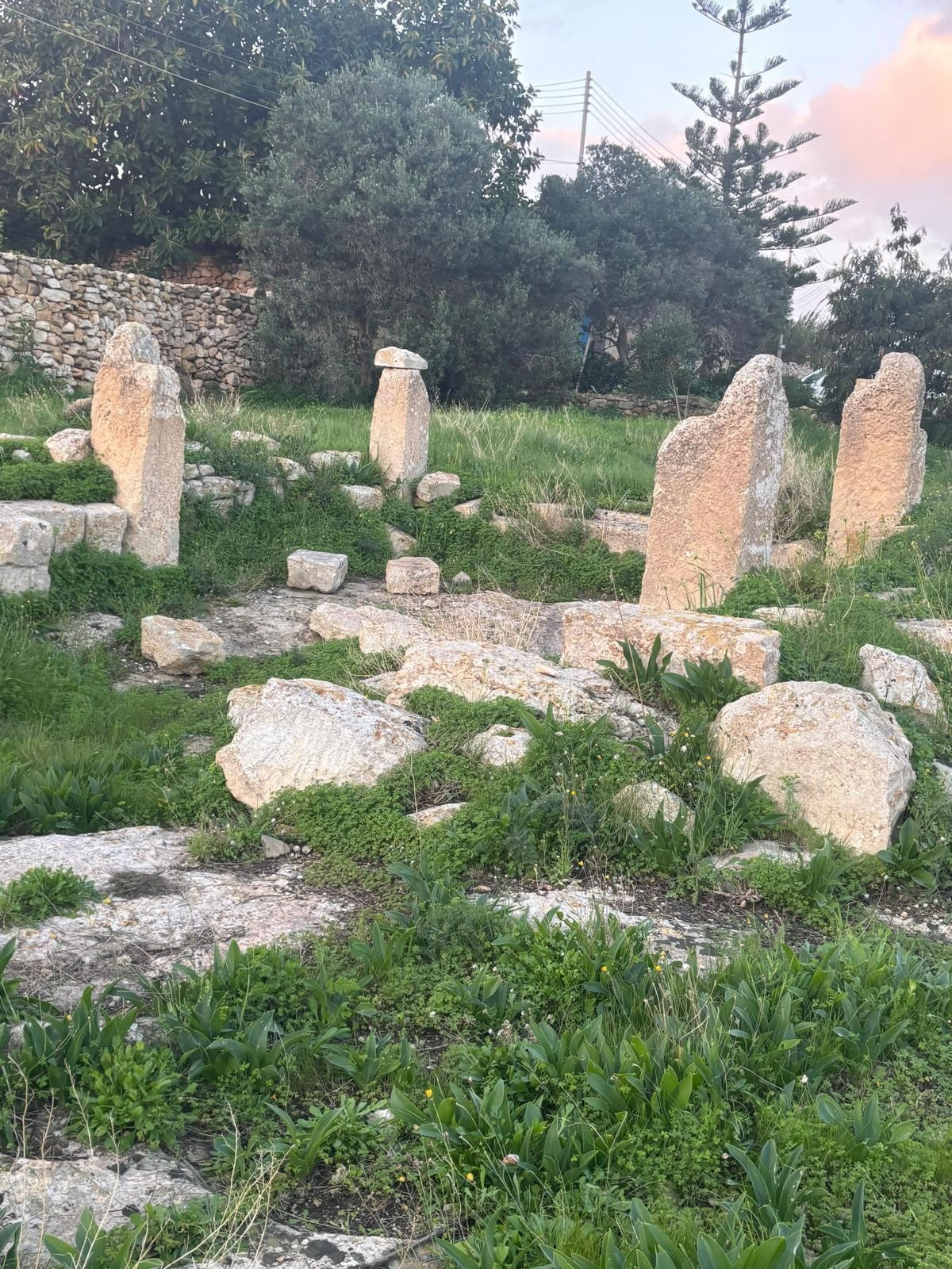
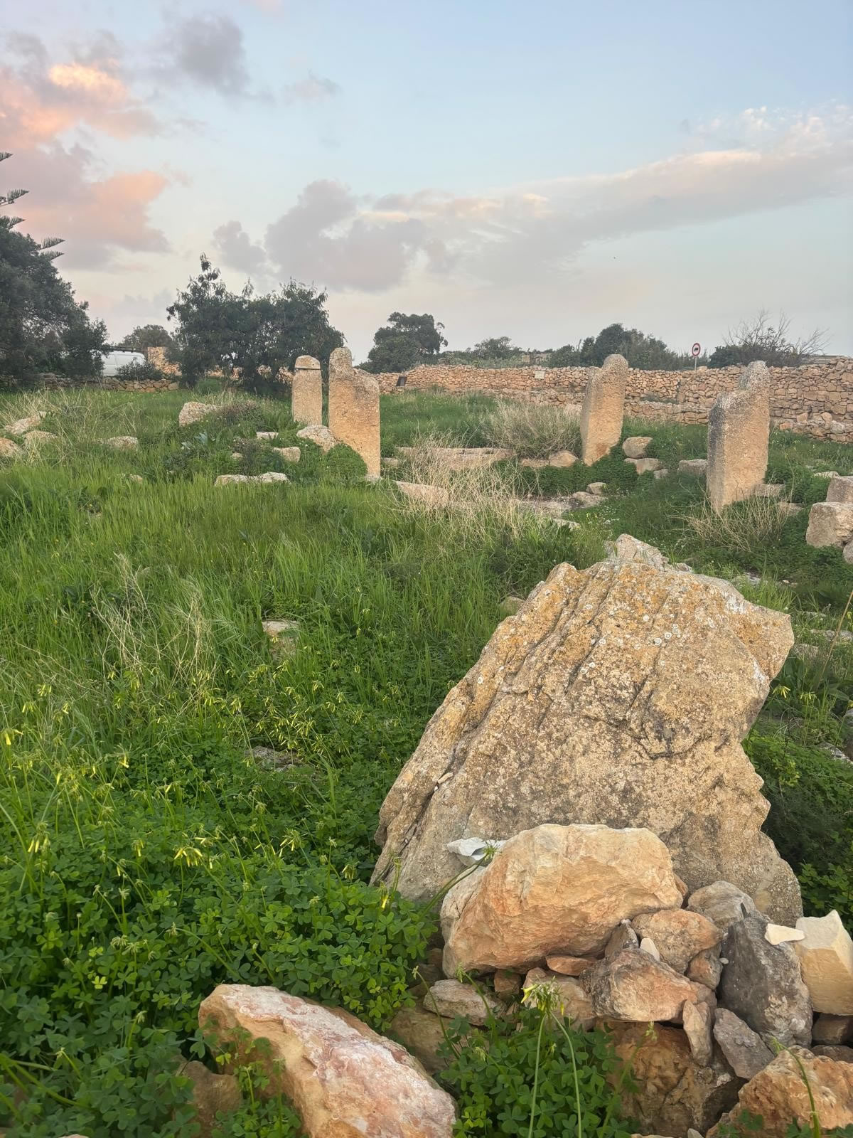
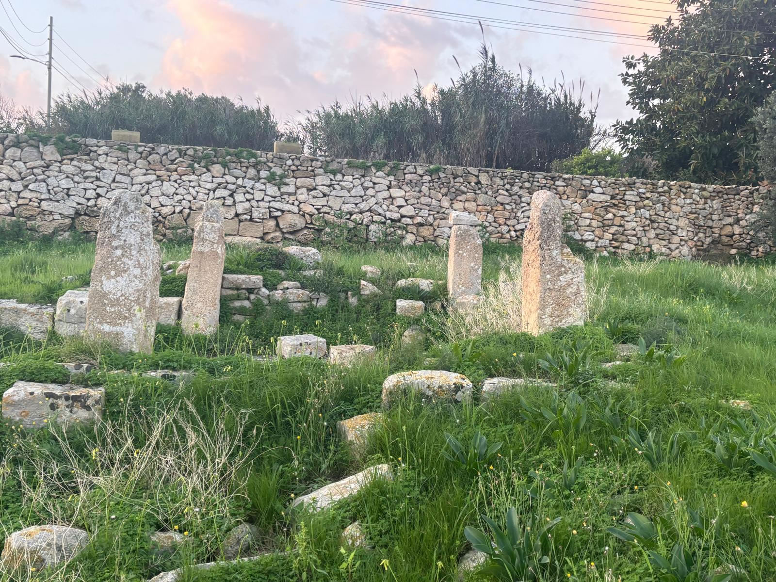
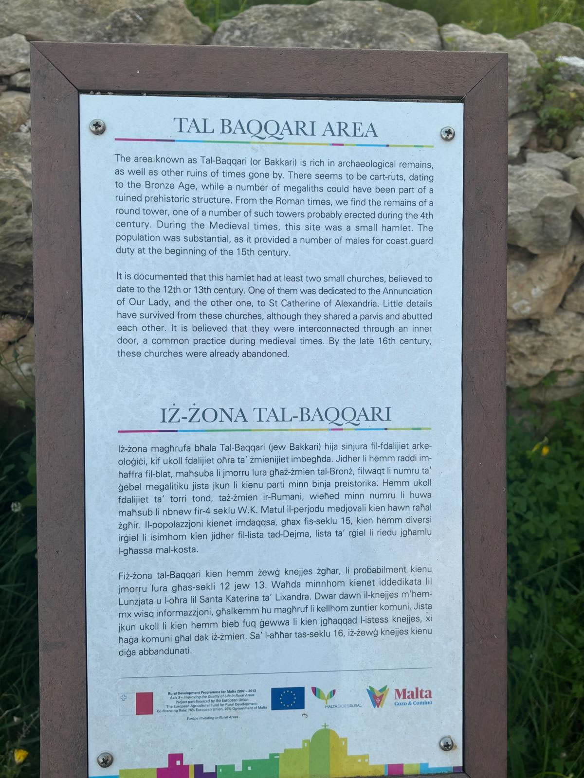
Malta’s central and southern landscapes were once dotted with lookout points and signalling towers. The Tal-Bakkari site is recorded in heritage references as a place where ruins of a tower survive, set in a landscape that controlled movement from inland valleys toward coastal access. Though no standing structure remains, the location aligns with field reports that identify scattered stone and masonry indicative of a once larger built form.
Punic Context & Chronology
The Punic era (c. 8th–3rd centuries BC) saw extensive defensive measures across Mediterranean islands. On Malta, such towers are typically dated to the late Punic to early Roman transition. In the case of Tal-Bakkari, the surviving evidence is insufficient to knot down a precise date; however, its placement and limited masonry align with regional defensive traditions of the period.
Construction and Remains
Today, Tal-Bakkari survives as fragmentary stone and low masonry traces. Such remnants may once have formed a **circular or polygonal plan** typical of early warning and communication towers. The interpretation of ruins is often complicated by later agricultural activity and the absence of substantial above-ground walls.
Strategic Role & Function
If this location served as a tower, its primary function would likely have been to monitor movement across southern approaches and support visual signalling across ridge-lines. In practice, these structures formed a network linking population centres, coastal watch points and inland routes, enhancing situational awareness across ancient Malta.
Location & Map
The Tal-Bakkari site lies within a rural area just outside Żurrieq. The map below shows the general vicinity; site remains may be subtle in the landscape and require careful observation.