Location Map Coordinates 35.843353, 14.470046
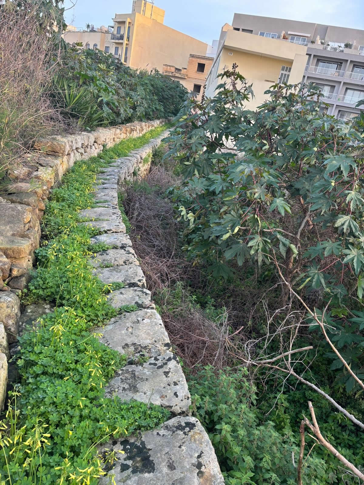
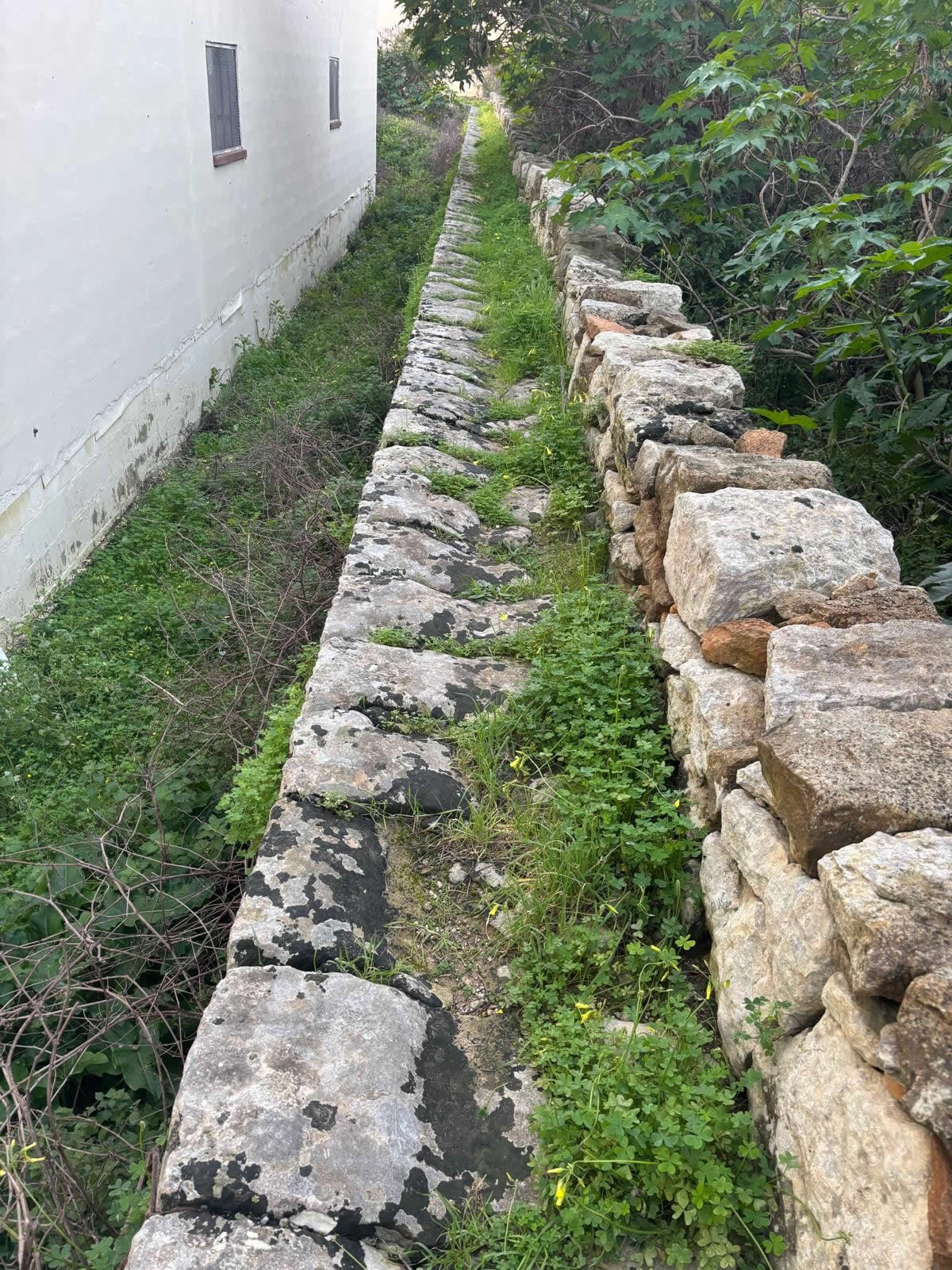
A rare heritage feature in Mqabba: a raised, dry-stone passageway traditionally dated to medieval times and once used as a practical walking route across fields. Coordinates: 35.843353, 14.470046.
Overview
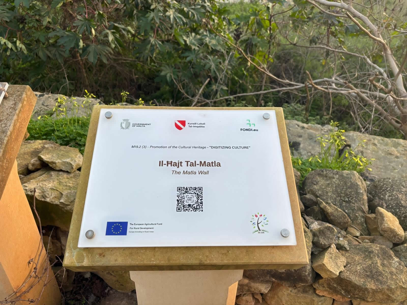
il-Ħajt tal-Matla is described as an elevated passageway made of stone built without mortar joints, traditionally dated to medieval times. Unlike a typical field boundary, this structure functioned as a raised walkway—an engineered route designed to keep people moving across farmland even when the surrounding ground became difficult to cross.
- Originally described as about 1 metre wide and roughly 1 kilometre long.
- It began from Mqabba’s centre, from the former parish church of St Basil. }
- It led into the countryside, near the Church of Jesus of Nazareth area.
- Only a portion survives today due to later development.
History of il-Ħajt tal-Matla
A raised route across fields
The Matla Wall is described as a raised walking route used by parishioners and villagers, with fields on both sides. Its practical value becomes clear in local accounts: in rainy winter months, when fields were prone to flooding, the wall served as a preferred dry route.
Religious and community connections
Local historical information notes that, before Mqabba had its own parish (late 16th century), the route was used by the parish priest of Ħal Kirkop to reach Mqabba to administer sacraments—particularly between 1592 and 1598. This links the structure not only to rural movement but also to the pastoral life of the area.
How much of it survives today
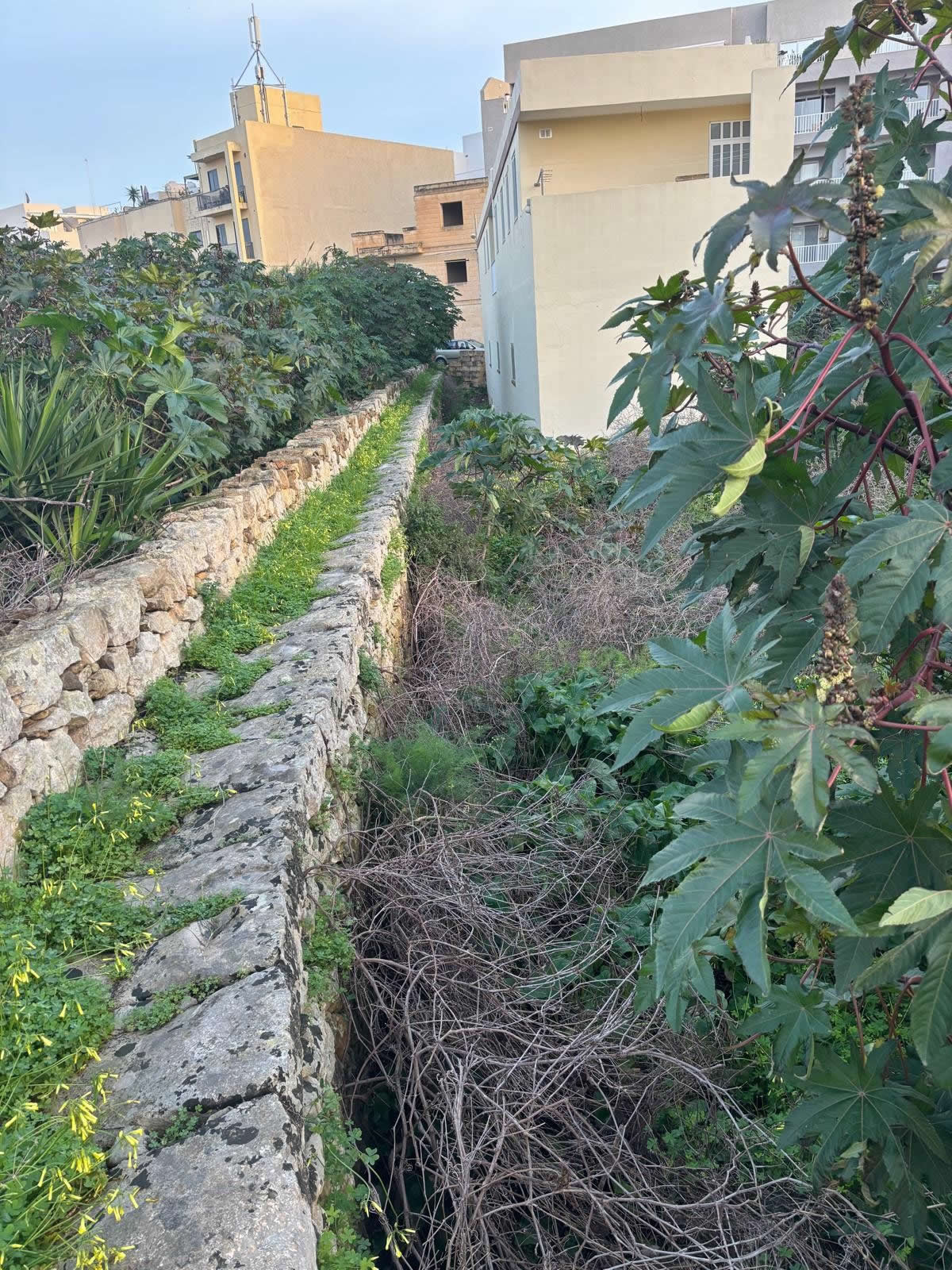
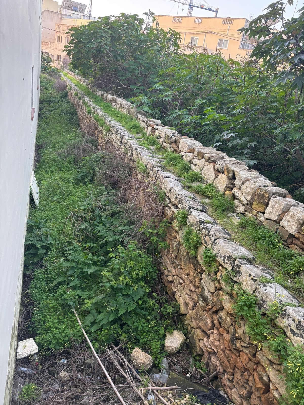
While once described as stretching for about a kilometre, only a small portion is said to remain today due to structural development in nearby areas. A surviving segment is described as running from Triq il-Konvoj ta’ Santa Marija to near the cemetery.
Traditional construction method
The wall is repeatedly described as built using an old method: irregular stone placement with no mortar joints. This is characteristic of dry-stone construction traditions seen across Maltese rural landscapes.
Meaning of “Matla”
A local explanation connects “Matla” (or “Matlgħa”) to a Maltese word of Semitic influence, linked to the idea of an ascent or stair leading to a higher place. This fits the structure’s defining feature: a raised passageway above surrounding terrain.
Restoration and conservation
The Matla Wall is noted as having been restored in 2018. A subsequent report describes a restoration project completed over three months, including cleaning, structural consolidation, and rebuilding deteriorated parts, carried out by the Restoration Directorate.
Visiting il-Ħajt tal-Matla
il-Ħajt tal-Matla is best experienced on foot. As a heritage feature embedded in a lived-in locality, visit respectfully: keep to pathways where possible and avoid climbing on fragile sections.
Map and coordinates
Coordinates: 35.843353, 14.470046
Tip: paste the coordinates into your maps app: 35.843353, 14.470046.
FAQ
What is il-Ħajt tal-Matla?
It is described as an elevated, dry-stone passageway in Mqabba, built without mortar joints and dating to medieval times.
How long was it originally?
Local historical information describes it as about one metre wide and roughly one kilometre long.
Why was it important?
It was used as a raised route across fields and was especially useful in rainy winter months as a drier alternative to flood-prone land.
Has it been restored?
Yes—local information notes restoration in 2018, and reporting also describes conservation works including cleaning and structural consolidation.
Sources and editorial notes
Core historical descriptions (medieval dating, original width/length, route and function, etymology, and the 2018 restoration note) are drawn from the Mqabba Local Council’s “Historical Places” entry. Details about the restoration project scope (cleaning, consolidation, partial rebuilding; dry construction method) are supported by a report on the restoration works.