The hamlet of Ħal Farruġ, situated within the administrative boundaries of Ħal Luqa, holds a unique and multi-layered position in Malta’s ecclesiastical and military landscape. Among its contemporary landmarks is the Chapel of the Nativity of Our Lady—widely known by locals as the Kappella tal-Vitorja (Our Lady of Victory). While it stands today as an active spiritual nucleus for the surrounding residential neighborhood and a modern pastoral center, its historical background is frequently entangled with the ancient, lost wayside chapels that once dotted this sprawling rural plain before the outbreak of the Second World War.
This entry serves as a comprehensive historical and architectural assessment of the current Tal-Vitorja chapel, tracing its modern late-20th-century construction, its pastoral role within the parish of Luqa, and the vital archaeological distinction between this active building and the historical memory of the structures that collapsed or were intentionally dismantled during the airspace expansions of the 1940s.
Quick Reference Data
| Official Name | Chapel of the Nativity of Our Lady (Kappella tat-Twelid tal-Verġni Marija) |
|---|---|
| Popular Title | Kappella tal-Vitorja (Our Lady of Victory / Victories) |
| Location | Ħal Farruġ Area, Triq tal-Vitorja, Ħal Luqa, Malta |
| Date of Dedication/Blessing | September 1992 |
| Ecclesiastical Status | Active Sub-Parochial Chapel & Pastoral Centre (Parish of St. Andrew, Luqa) |
| Key Historical Association | Repurposed post-military infrastructure / Successor to lost wartime heritage |
Historical Timeline and Modern Foundation
To fully comprehend the timeline of the current Tal-Vitorja chapel, one must examine the geopolitical shifts that transformed Ħal Farruġ during the latter half of the 20th century. Throughout the British colonial period, vast tracts of land between Luqa, Qormi, and Gudja were requisitioned for military aviation. The continuous development of RAF Luqa turned the surrounding fields into heavily fortified areas, cutting off old country lanes and isolating ancient architectural remains.
Following the total withdrawal of British military forces from the Maltese islands in 1979, the extensive infrastructure formerly occupied by the British services was gradually returned to the civil government. In the subsequent years, portions of the vacated barracks and utility facilities in the Ħal Farruġ sector were repurposed for light industrial use, housing complexes, and public spaces. As a localized community began to crystallize within this newly accessible residential pocket, the spiritual need for a dedicated local sanctuary became increasingly evident to the ecclesiastical authorities of Luqa.
The establishment of the chapel in 1992 provided the residents of Ħal Farruġ with an easily accessible space for daily and Sunday liturgies, catechism classes for children, and communal gatherings, saving them from the commute to the main parish core of Luqa. It reflects a classic Maltese tradition of converting communal or infrastructural architecture into functional centers of faith when suburban populations shift.
Untangling the Geography: The Myth of the Rebuilt Site
A frequent point of confusion among casual heritage enthusiasts, amateur genealogists, and digital map-makers is the exact geographic and historical relationship between the modern 1992 chapel and the older structures that vanished during the early 1940s. It is historically inaccurate to state that the current chapel is built upon the ruins of the old, or that it is an exact architectural replica of what was lost. The modern chapel has nothing to do with the ancient chapel that collapsed or was dismantled during the Second World War; they share a conceptual dedication to the Nativity of the Virgin, but they occupied different physical coordinates and belong to separate historical eras.
1. The Demolished Antique Chapels of the Airfield
Historically, the plains of Ħal Farruġ contained deep-seated roots of Marian devotion. Pastoral visitations from the late 16th century—including the celebrated apostolic visit of Monsignor Pietro Dusina in 1575—record wayside shrines in this sector. One historic chapel dedicated to the Nativity of Our Lady stood in the path of what would become a crucial defensive shield for the Mediterranean: the runways of Luqa airfield.
By 1941, as the air siege of Malta intensified, the British military command recognized that the short, intersecting runways at RAF Luqa were insufficient for the heavier bombers and high-velocity fighters required to turn the tide of the war. To extend the airstrips and secure vital clearways, several surrounding structures had to be cleared. Governor William Dobbie formally requested the ecclesiastical permission of the Archbishop of Malta to dismantle the old wayside chapel standing in the path of the expansion. The structure was systematically cleared to ensure the safety of military take-offs and landings, forever erasing its stone profile from the airfield perimeter.
2. The Rebuilt Chapel of Our Lady of Carmel (1958)
Another separate wartime casualty in the immediate vicinity was a chapel dedicated to Our Lady of Mount Carmel. Unlike the Marian structure cleared for the runway, this building was entirely obliterated by direct enemy air raids in 1942. Following the conclusion of hostilities, war damage compensation funds were allocated to rebuild this specific lost asset. However, due to the altered topography of the expanded post-war military airfield, it was impossible to rebuild on the original spot. A completely new site was chosen further away, resulting in the construction and opening of a replacement chapel in 1958. This further illustrates how wartime shifts altered the sacred geography of Luqa.
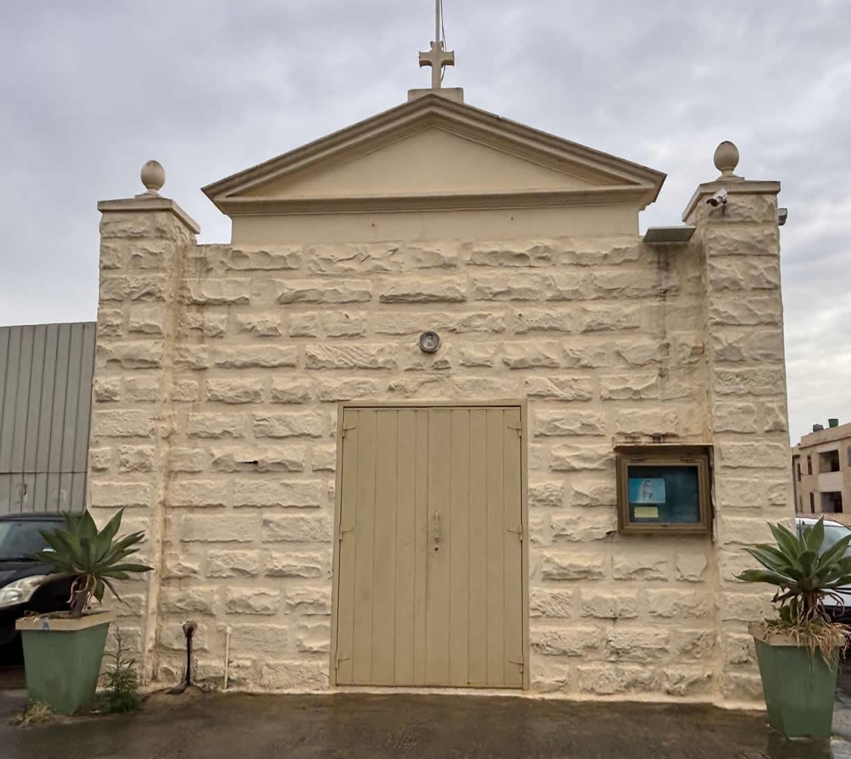
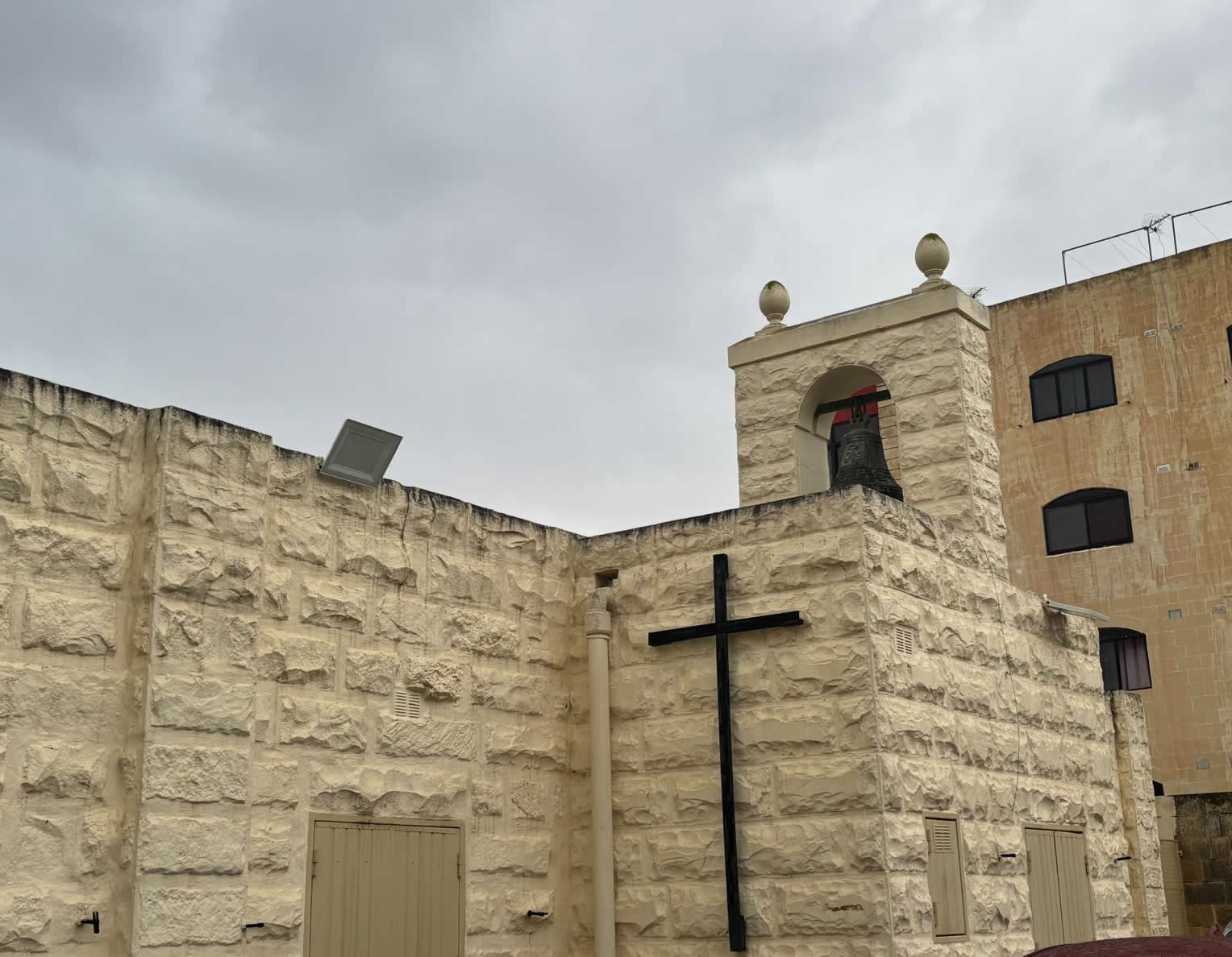
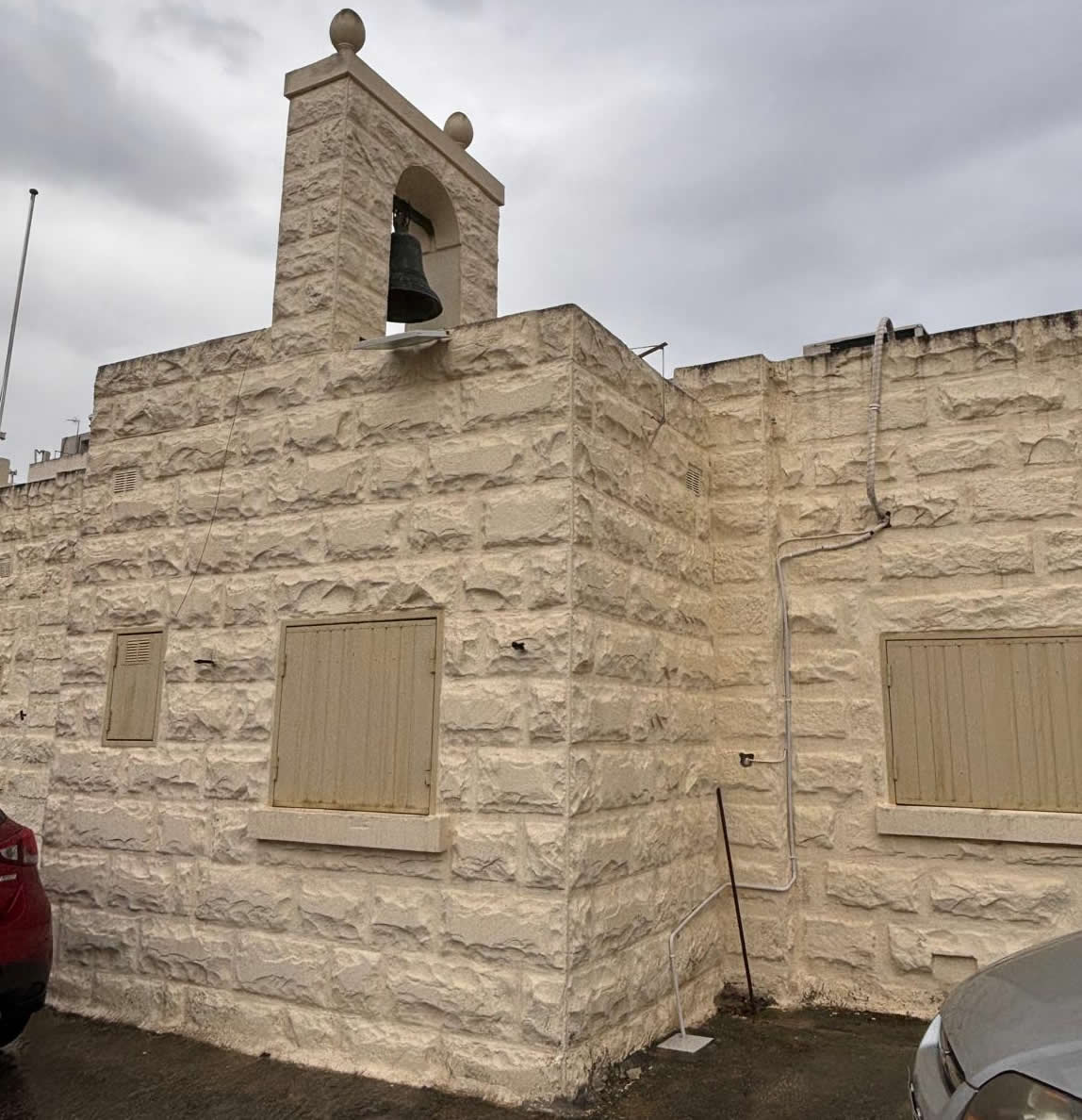
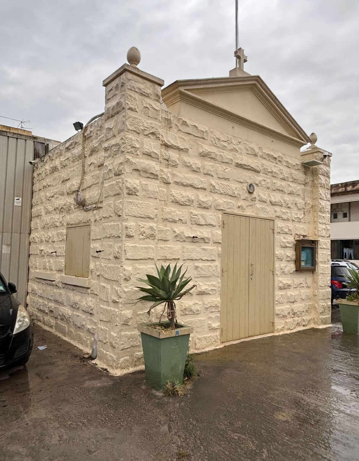
Architectural Design and Interior Setting
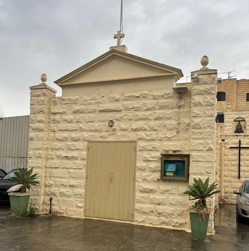
Architecturally, the 1992 Tal-Vitorja chapel departs significantly from the traditional 17th-century vernacular seen in typical Maltese wayside chapels—such as the stone-carved facades, high-pointed arches, and stone-slab roofs (balati) that characterize older structures in the region. Instead, the Ħal Farruġ chapel utilizes modern architectural lines tailored toward functionality, space optimization, and community accessibility.
The interior layout is wide and unencumbered by massive stone pillars, offering clear lines of sight to the main altar area to accommodate contemporary liturgical practices. The sanctuary is adorned with titular representations of the Nativity of Our Lady (the Victory), connecting modern suburban worshippers with the historical centuries-old devotion that their ancestors maintained in the same region. As part of a larger pastoral center, the facility balances its sacred chapel space with auxiliary rooms dedicated to community administration, localized social events, and religious education.
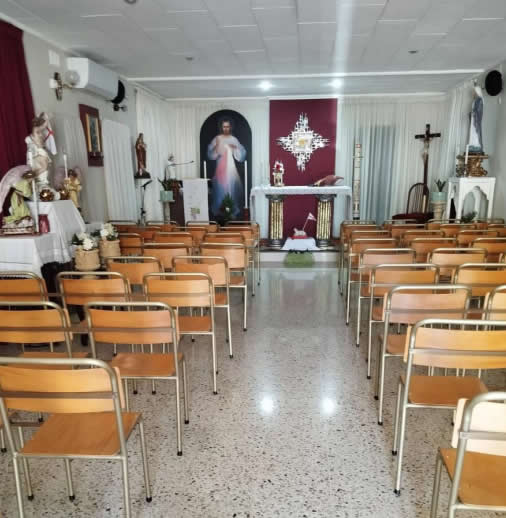
image kindly provided by Jeffrey Scicluna
Including Tal-Vitorja in Malta's Historical Narrative
Though the physical structure of the current chapel dates to 1992, its inclusion in the master listings of The Oldest Chapels of Malta & Gozo is justified through its role as an active living link. It stands as the spiritual legatee of the historical devotions of Ħal Farruġ. It ensures that while the physical stones of the pre-war 16th and 17th-century Marian chapels were lost to the vital defense needs of World War II, the liturgical traditions, name, and regional heritage of Tal-Vitorja continue to thrive without interruption in the 21st century.
Frequently Asked Questions (FAQ)
Research & Documentation
- Researcher: Paul Berman
- Last Updated: 2026
This page forms part of eMalta's ongoing documentation of the historical, cultural and religious heritage of Malta and Gozo.
Information has been compiled through site visits, field research, historical publications, archival records, maps, plans and other reference sources.
All locations that currently exist featured on eMalta have been personally visited and documented. Where historic sites no longer exist, information has been researched from archival sources and contemporary records.
Images used on eMalta include original photography as well as historical illustrations, maps and photographs reproduced with permission from archives, institutions and copyright holders where applicable. Individual image credits and archive reference numbers are provided where available.
© 2026 eMalta Heritage Directory. All Rights Reserved. Investigating, Documenting, and Preserving Maltese History.