📍 Location
Location Map Coordinates 35.936545, 14.472727
Comprehensive architectural survey and history of the 18th-century stone mortar flanking Torri tal-Madliena.
History & Strategic Context
Carved straight down into the coastal shelf along the northern border of Pembroke, the Madliena Fougasse remains an exceptionally visual monument to the unique defensive ingenuity of the Knights of St. John. While the neighboring Madliena Tower (Torri tal-Madliena) was constructed earlier in 1658 as a defensive lookout post under Grand Master De Redin, the coastal shelf below was later augmented in the early 1740s to prevent close-shore maritime landings.
Following successful experimental test launches designed by Resident Engineer Francesco Marandon in September 1740, the Order systematically commissioned these massive, angled stone mortars (*foggazza a selci*) across vulnerable rocky inlets. The unit located at Madliena was explicitly engineered to rain massive sheets of limestone shards and boulders directly down upon any invading fleets attempting to secure a landing zone within the adjacent rocky bays.
Architectural Anatomy & Engineering
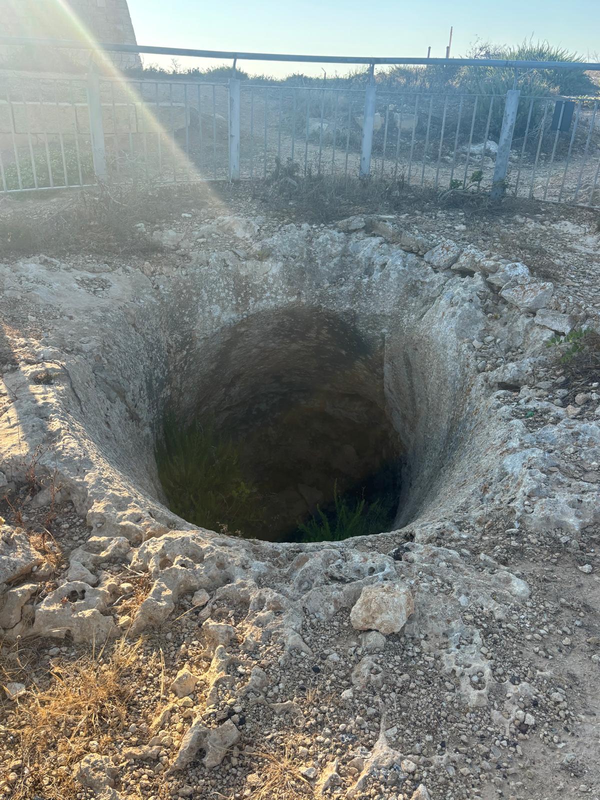
The structural preservation of this individual installation is superb, largely due to its high profile and the lower coralline limestone platform's resistance to maritime fragmentation over the centuries. Cut cleanly into the floor at a specific inclined angle pointing seaward, the cavity forms a hollow cone shape tapering downward into a targeted powder repository vault at its deepest center.
In modern times, due to the rapid growth of hiking paths and recreational coastal activity around Pembroke and the Victoria Lines network, local authorities installed a circular steel safety fence around the mouth of the crater. This enclosure protects pedestrians from falls while offering an unobstructed, birds-eye vantage directly into the historical throat of the weapon.
Photographic Record & Visual Analysis
The following original photographic archive illustrates the contextual placement, scale, and internal rock craftsmanship of the site. Every layout profile maintains a strict, uniform aspect ratio height for comparison viewing.
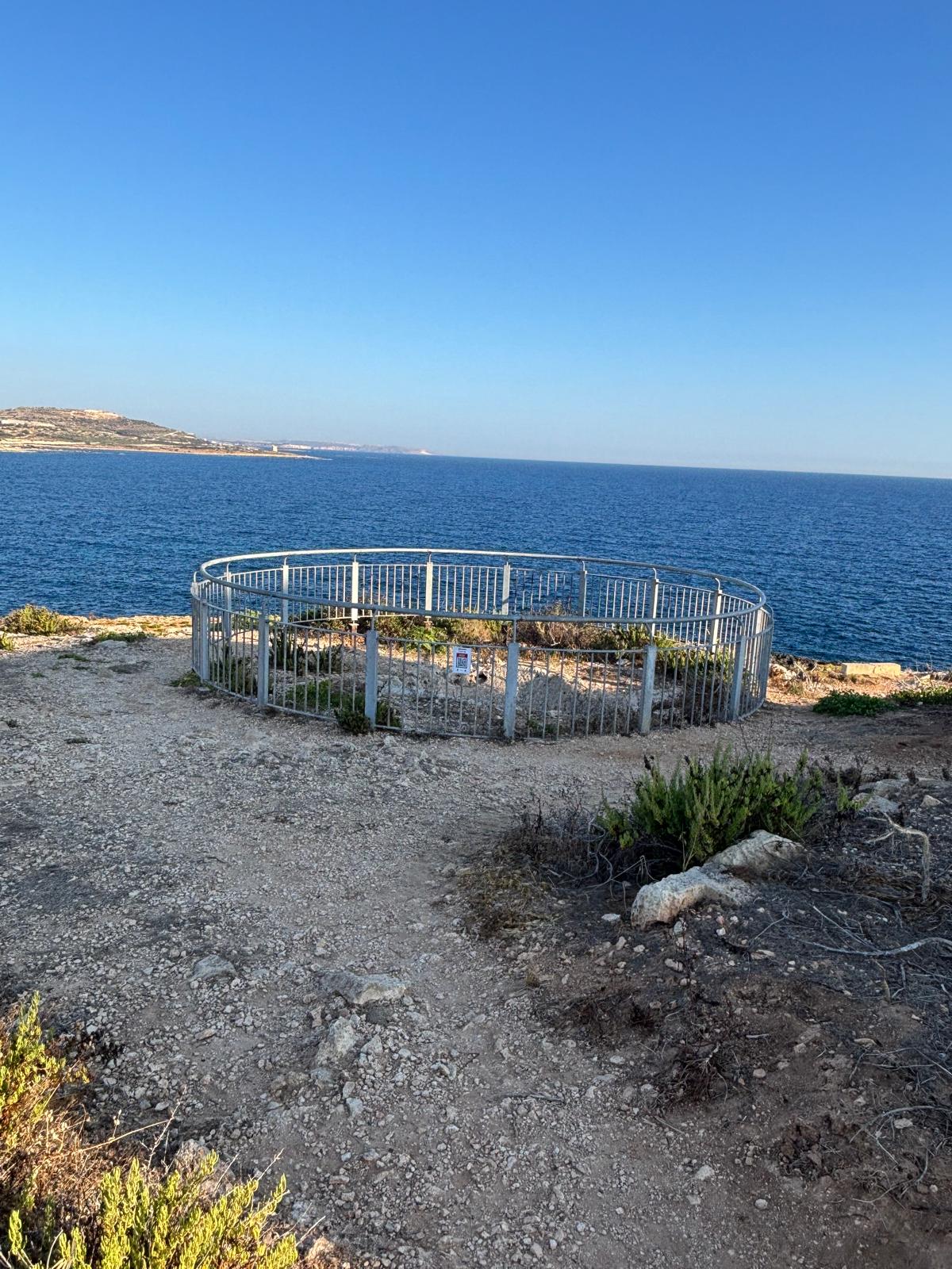
Madlienafougasse1.jpg - Wide angle overview showing the modern protective metal fence enclosing the stone mortar on the Pembroke coast.
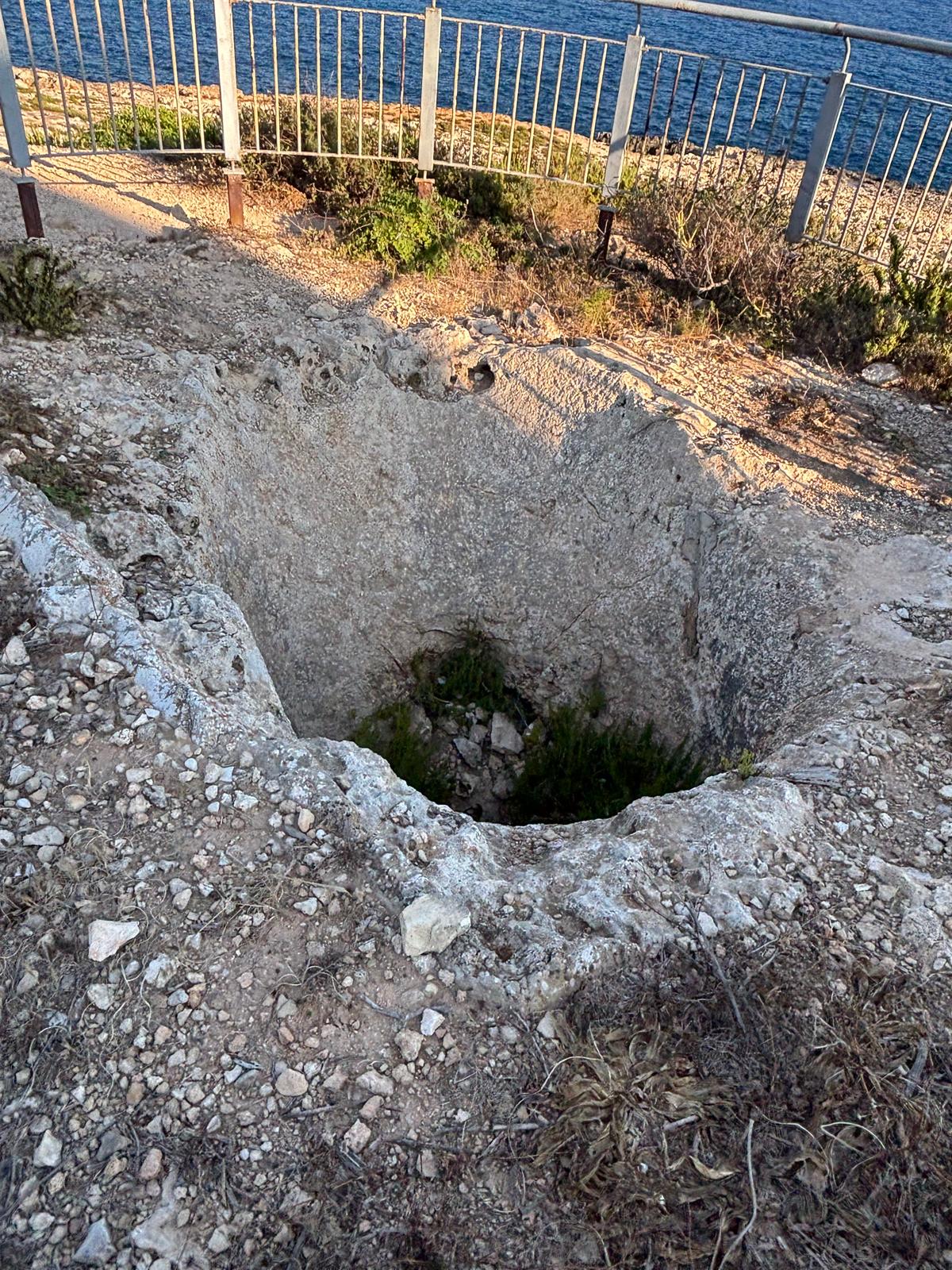
Madlienafougasse2.jpg - Close up of the structural rim, showcasing the layered limestone excavation and deep central cavity.
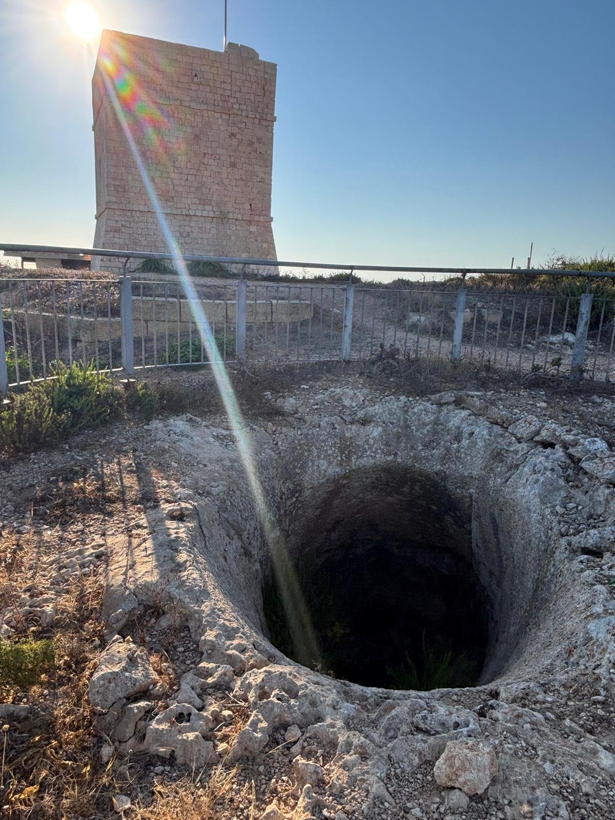
Madlienafougasse3.jpeg - Downward perspective detailing the narrowing taper towards the bottom charge repository.
Madlienafougasse4.jpeg - Historic proximity showing the exact structural relationship between the fougasse and Torri tal-Madliena.
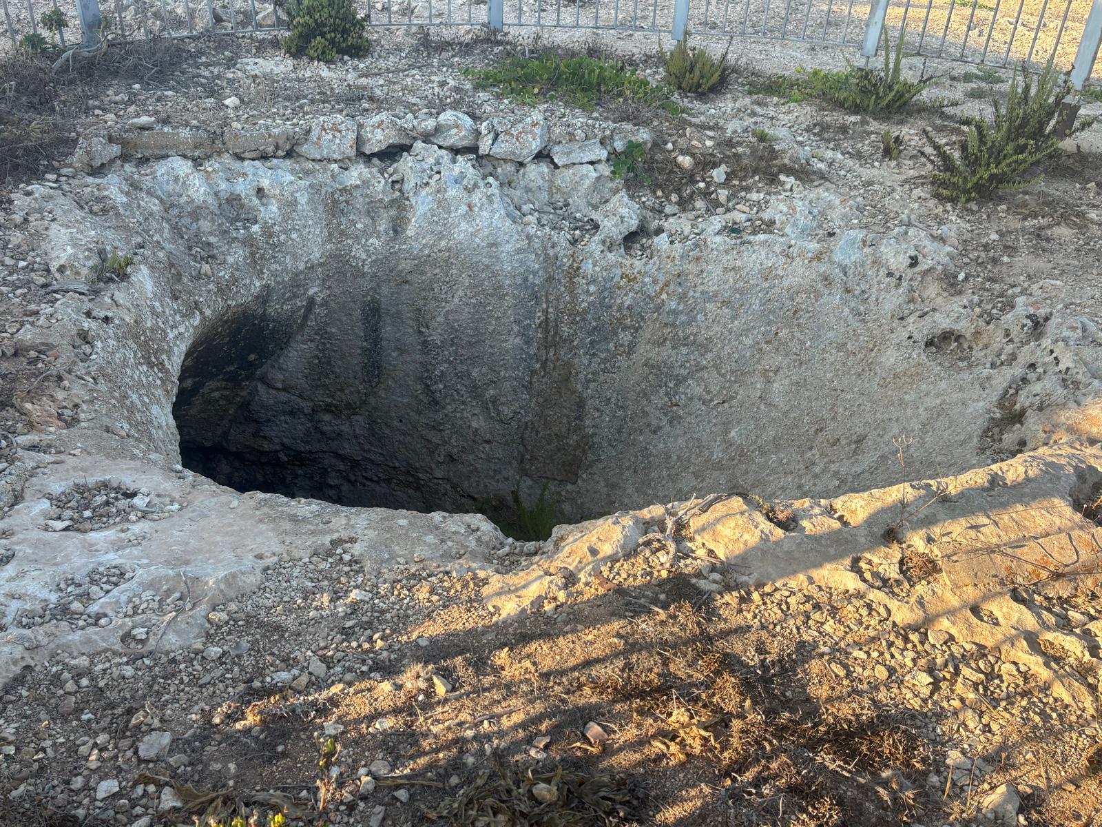
Madlienafougasse5.jpg - Detail of the interior limestone masonry, emphasizing the severe erosion resistance of the coastal coralline layer.
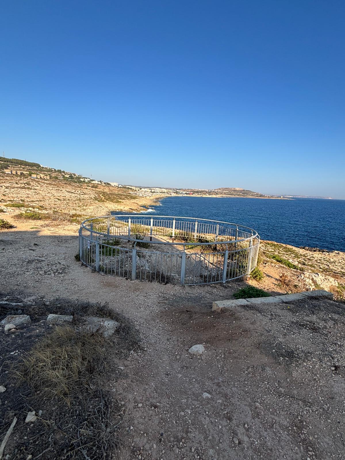
Madlienafougasse6.jpeg - Contextual seascape positioning, framing the tactical crossfire vectors directed across the open approaches.
Frequently Asked Questions
Research & Documentation
- Researcher: Paul Berman
- Last Updated: 2026
This page forms part of eMalta's ongoing documentation of the historical, cultural and religious heritage of Malta and Gozo.
Information has been compiled through site visits, field research, historical publications, archival records, maps, plans and other reference sources.
All locations that currently exist featured on eMalta have been personally visited and documented. Where historic sites no longer exist, information has been researched from archival sources and contemporary records.
Images used on eMalta include original photography as well as historical illustrations, maps and photographs reproduced with permission from archives, institutions and copyright holders where applicable. Individual image credits and archive reference numbers are provided where available.