Along the jagged shorelines of the Maltese islands sits an innovative achievement in 18th-century military engineering: the stone-throwing fougasse (Maltese: fugaas). Developed predominantly under the Order of the Knights of St. John, these rock-cut coastal mortars served as primitive yet devastating area-denial weapons against incoming maritime invasions. While dozens were excavated across the archipelago, the coastal stretch at Salini presents an exceptional concentration, featuring two highly significant examples situated just 25 meters apart.
History and Tactical Origins of the Maltese Fougasse
The development of the rock-cut mortar (fogazza á selci) gathered momentum under the engineering direction of the Order’s military planners in the mid-1700s. Facing the persistent threat of Ottoman and corsair raids on undefended bays, the Order sought an economical method to fortify massive stretches of open coast without expanding expensive stone masonry forts.
The operational mechanics of a classic Maltese fougasse were elegantly simple yet terrifyingly effective:
- A deep, cone-shaped or flask-like hollow was chiseled deep into the solid coastal limestone bedrock, angled carefully at roughly 45 degrees facing out into maritime approach channels.
- A charge of black gunpowder was placed down in the basal well of the shaft, rigged to a long, protected ignition fuse running along a carved channel or groove up to a safe firing position.
- The entire cavity was then tightly packed with several tons of loose rocks, shingle, and heavy boulders from the surrounding shoreline.
When ignited, the stone mortar acted like a massive smoothbore shotgun, projecting a massive, lethal curtain of splintering stone missiles over an wide area across incoming enemy landing boats up to several hundred meters away.
The Exterior Salini Fougasse
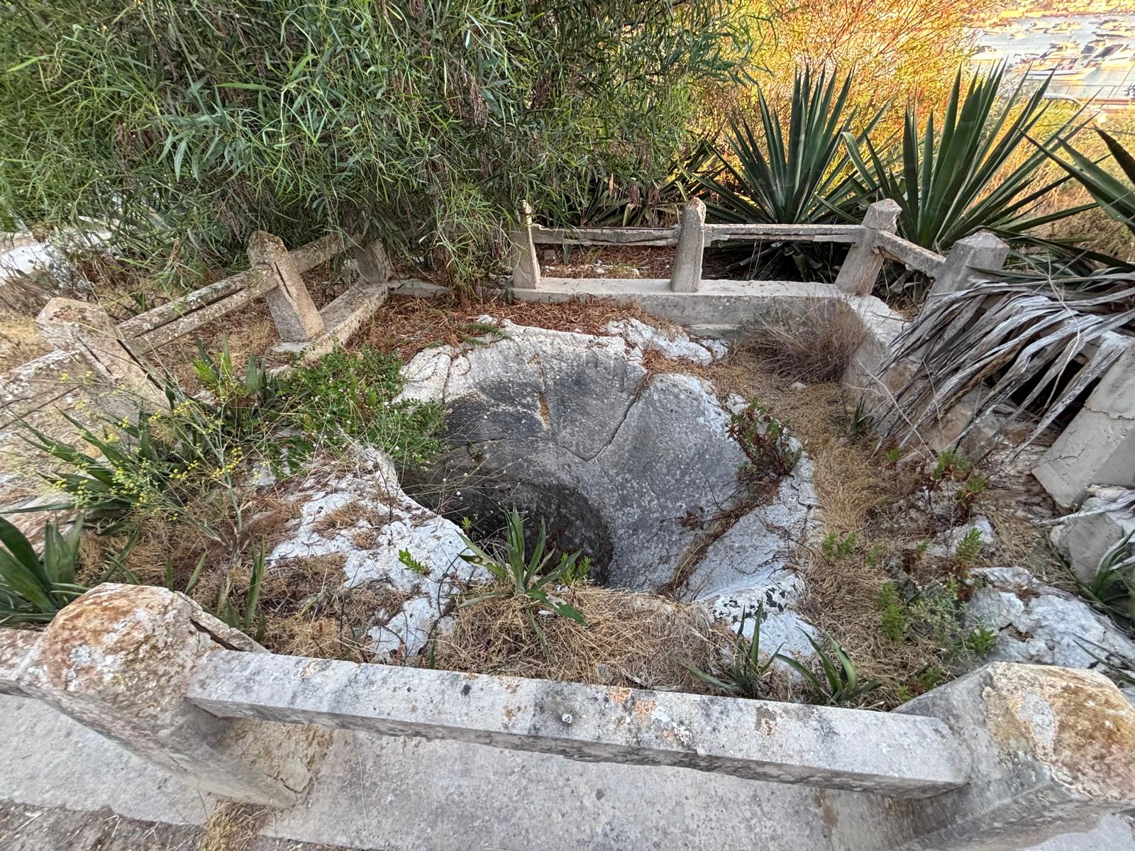
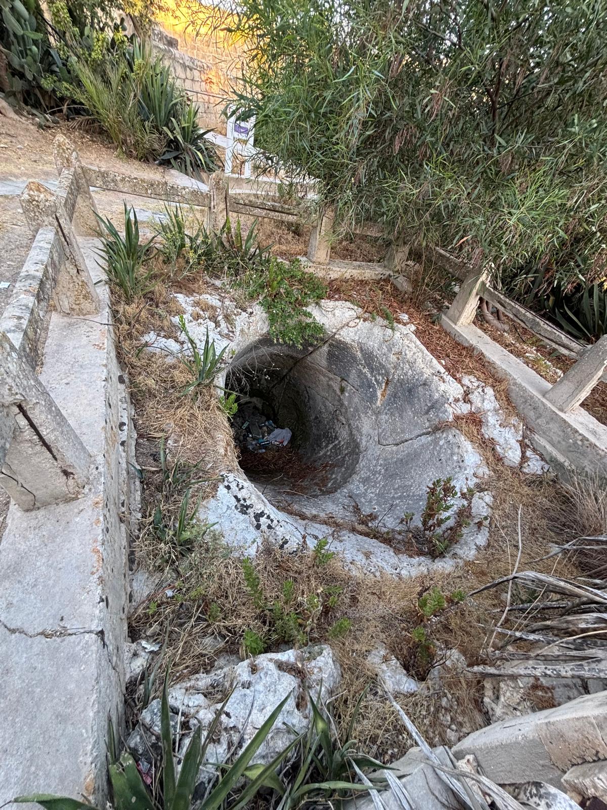
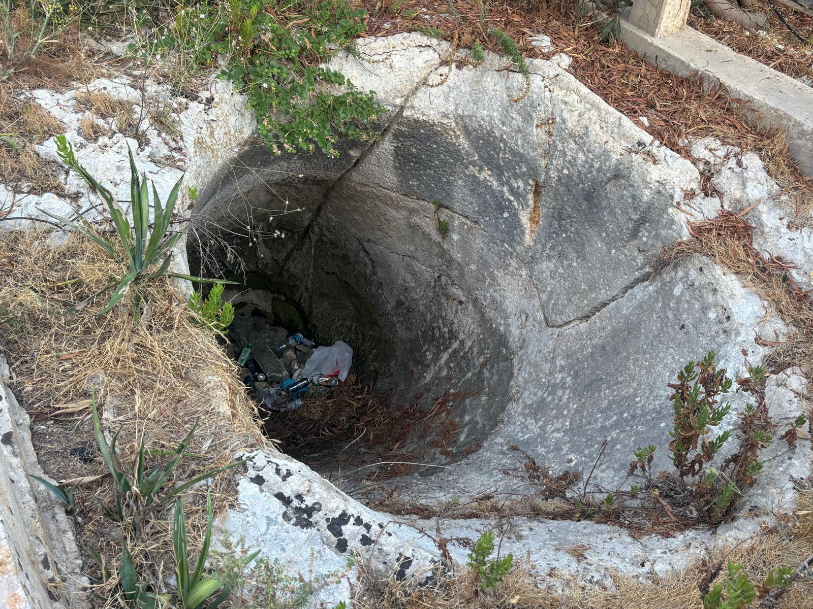
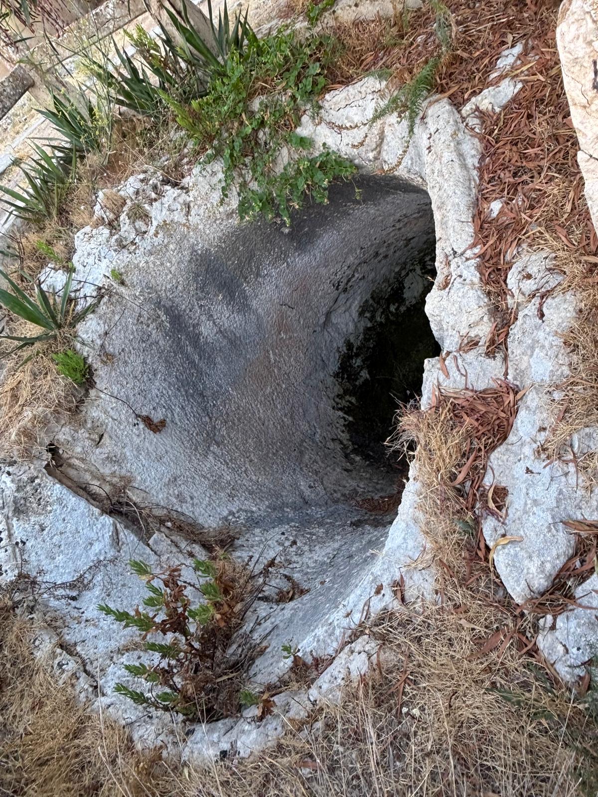
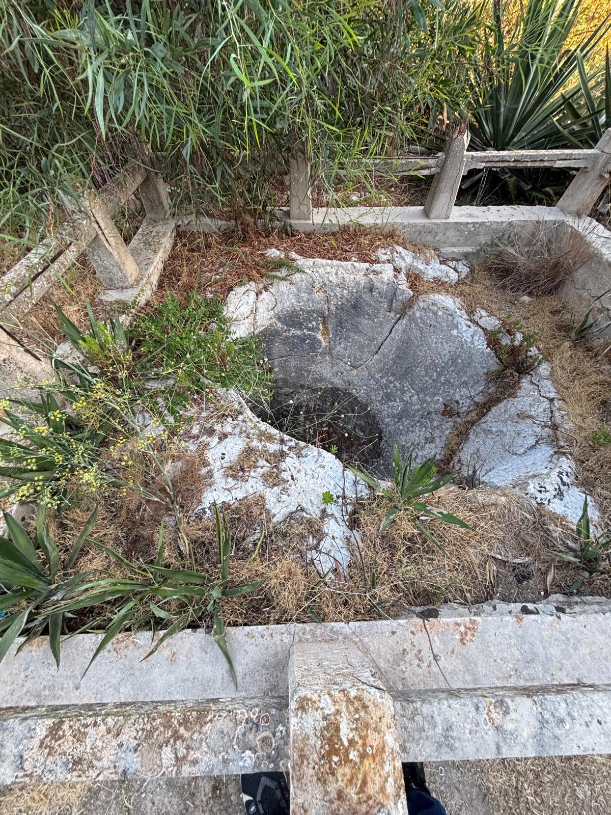
Situated in open ground just north of the redoubt perimeter at coordinates 35.948080, 14.426094, this perfectly shaped coastal stone mortar offers an excellent look at the weapon's design outside of architectural boundaries. Cut smoothly into the exposed bedrock terrace, it directly commands the shallow mouth of Salini Bay.
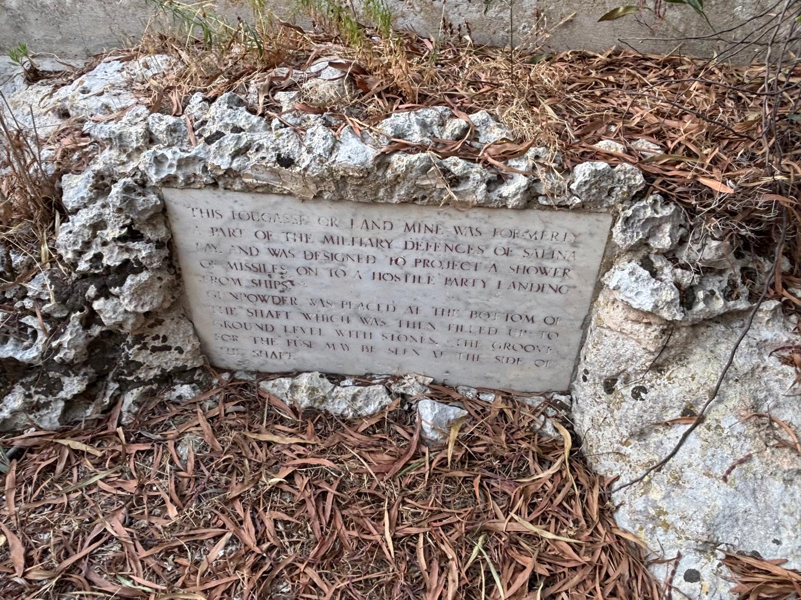
Today, this exterior site is safely surrounded by an early 20th-century concrete post-and-rail protective enclosure. Directly adjacent to the stone mouth, a weathered marble plaque stands set into the rock, preserving its historical context for visitors. The inscription details its tactical purpose as a weapon designed to unleash a shower of rock projectiles upon hostile landing forces trying to breach the inner bay shores.
Field Photography: Exterior Fougasse (Salini)
The Interior Fougasse (Ximenes Redoubt)
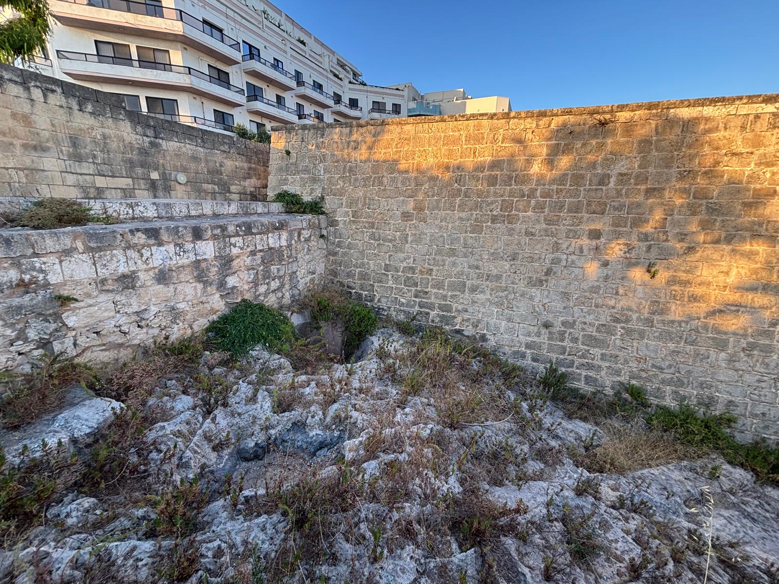
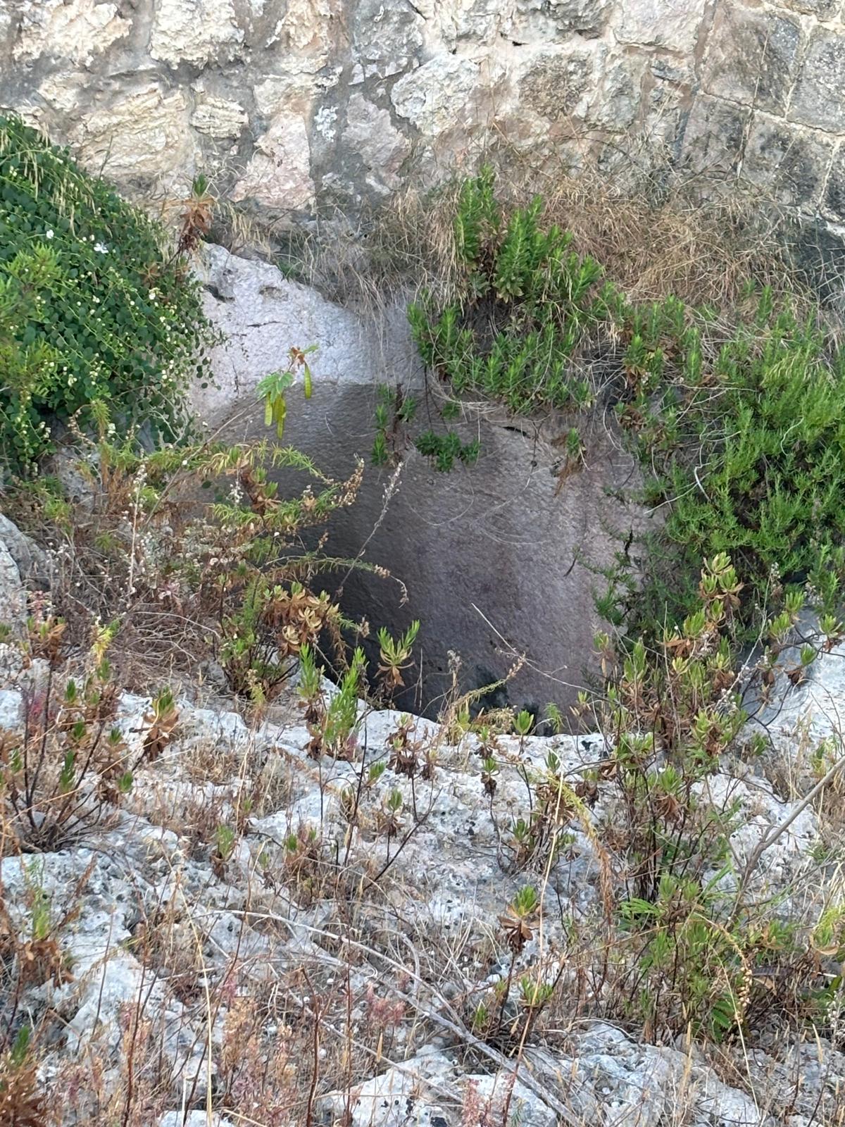
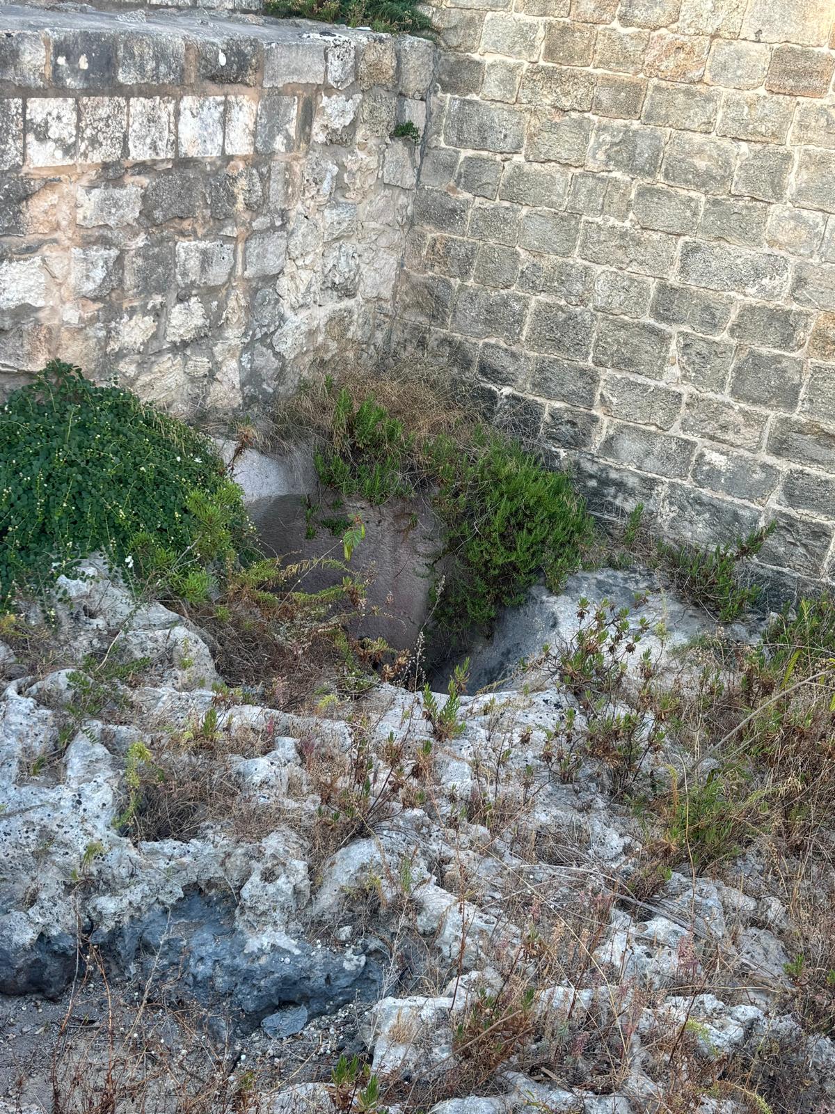
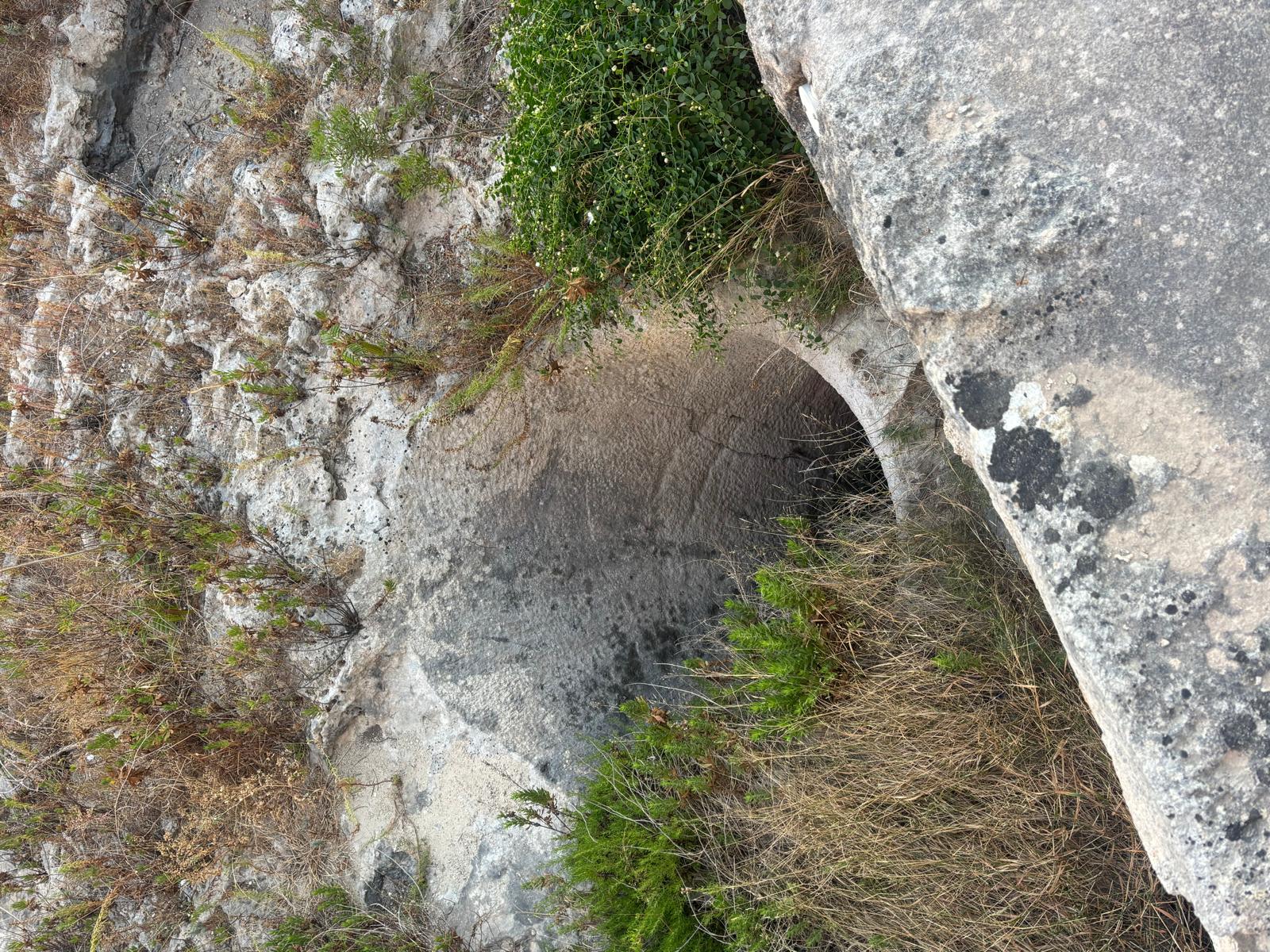
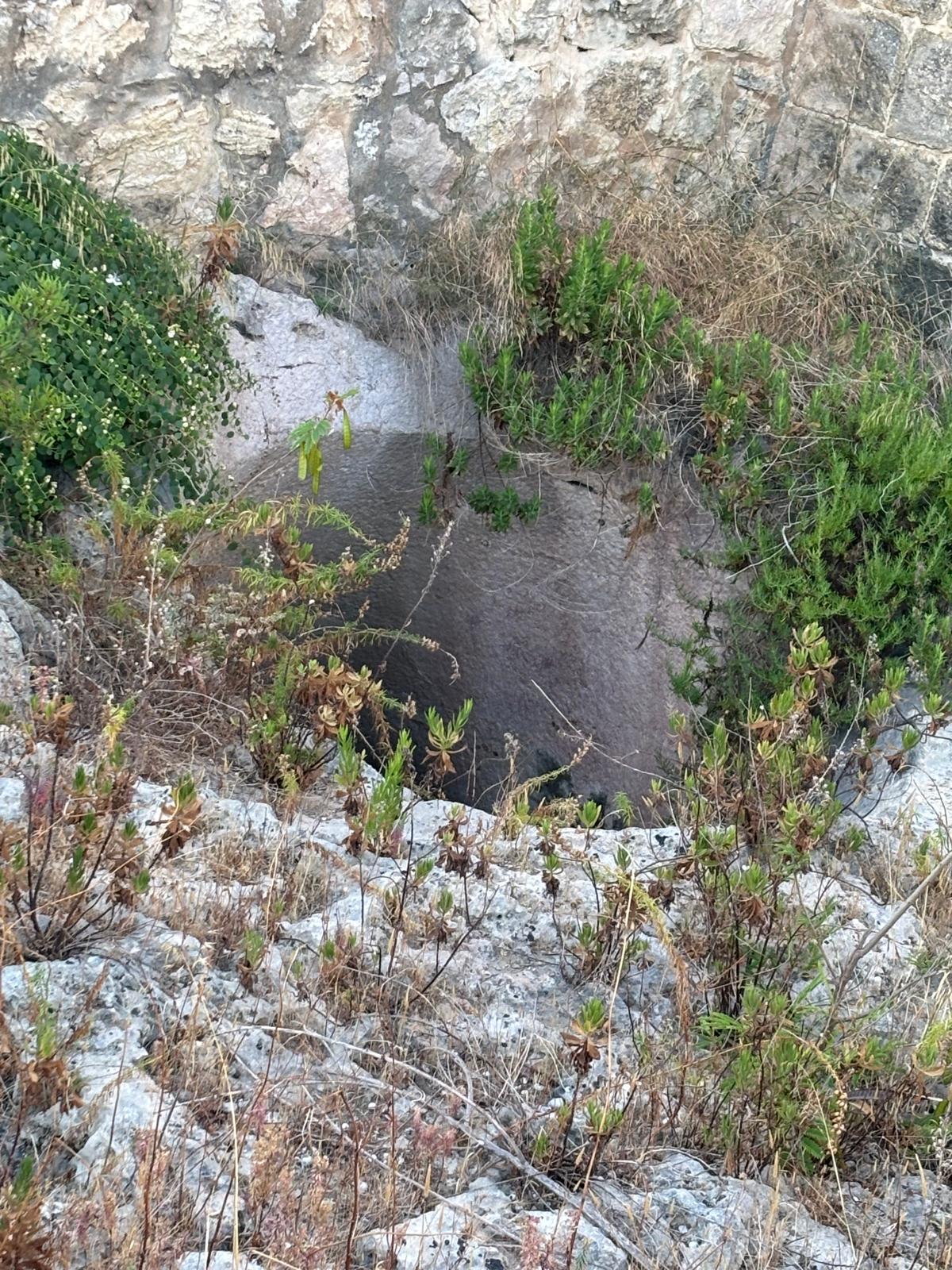
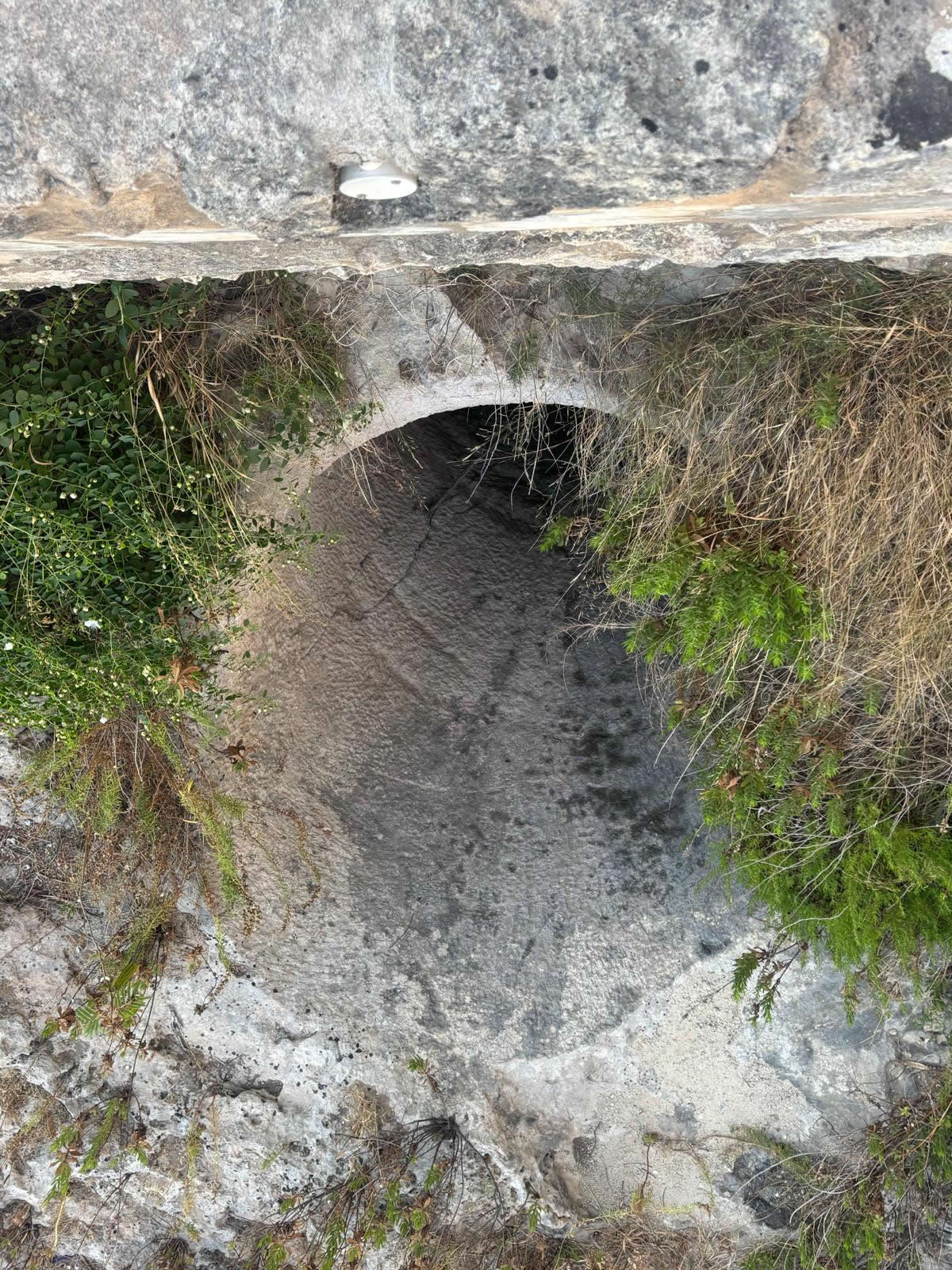
Located just 25 meters southwest at coordinates 35.947920, 14.425909 lies a much rarer tactical variant. This second fougasse was intentionally integrated directly inside the defensive masonry perimeter wall of Ximenes Redoubt.
While the vast majority of Malta's surviving fougasses sit entirely exposed on barren rocky coastlines, integrating a stone mortar within a permanent blockhouse or redoubt courtyard is a unique arrangement. This position provided the artillery crew with defensive cover from musketry fire while preparing the complex loading sequence of the stone charge. The heavy mouth opens immediately out from the base of the fortified curtain wall, completely blending with the defensive topology of the redoubt outpost.
Field Photography: Interior Fougasse (Within Ximenes Redoubt Walls)