📍 Location
Location Map Coordinates 35.902349, 14.424966
A Comprehensive Survey of Mosta’s Active Municipal Burial Ground and Operational Cemetery Chapel
WGS84 Coordinates: 35.902349 Latitude, 14.424966 Longitude.
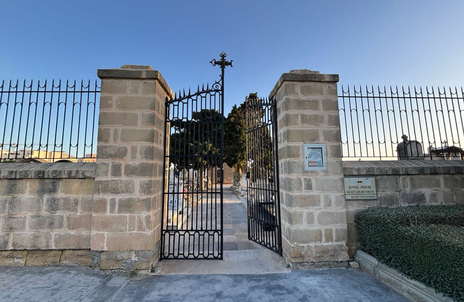
1. Operational Overview of Mosta's Public Cemetery
The Duramblat Cemetery (known in Maltese as Iċ-Ċimiterju ta' Duramblat) serves as the primary municipal burial facility for the expansive parish of Mosta and its surrounding residential communities. Situated along the busy thoroughfare of Triq Duramblat, this site is fundamentally distinct from the older, isolated 17th-century wayside chapels found in the local Maltese countryside. It operates as a modern, structured, and highly regulated civil burial resource.
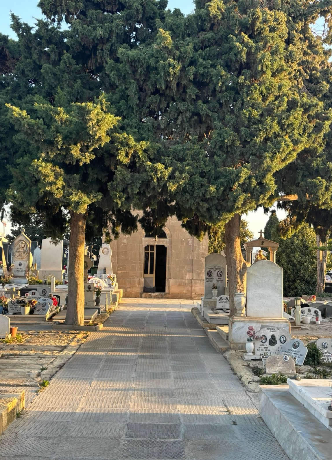
Designed to accommodate the logistical needs of one of Malta's most populous towns, the cemetery features thousands of multi-tier underground graves systematically arranged along a grid of limestone pathways. It functions seamlessly as part of Malta's network of public and parish resting places, which you can explore in our definitive architectural framework covering the Oldest Chapels and Consecrated Grounds in Malta and Gozo.
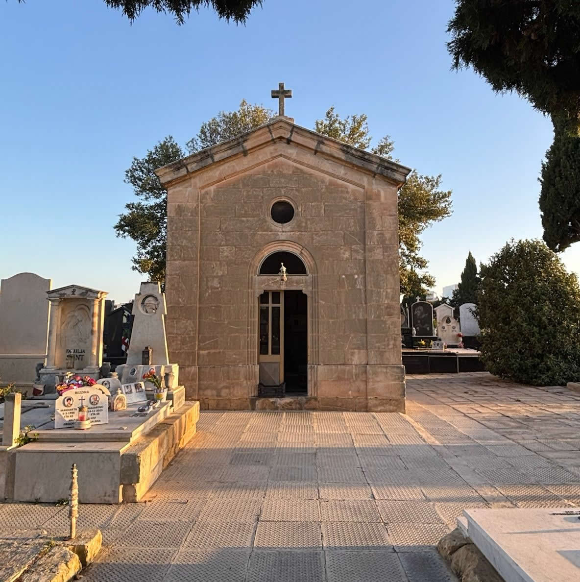
2. Historical Development and Community Growth
Historically, the inhabitants of Mosta were buried within the crypts and charnel houses of their local parish churches—a practice common throughout Malta until public health mandates required extramural burials outside village centers. While administrative planning and land allocation for the Duramblat district began in the 19th century, physical operations and day-to-day interments formally commenced in the early 20th century.
According to verified burial records, the earliest currently documented interment at the municipal Duramblat Cemetery took place on November 2, 1919, marking the burial of Maria Quattromani, who passed away at the age of 46. This baseline matches the post-World War I era, a period when the Spanish Influenza pandemic and rapid local population growth forced the active opening of new municipal resting places to handle the town's burial needs.
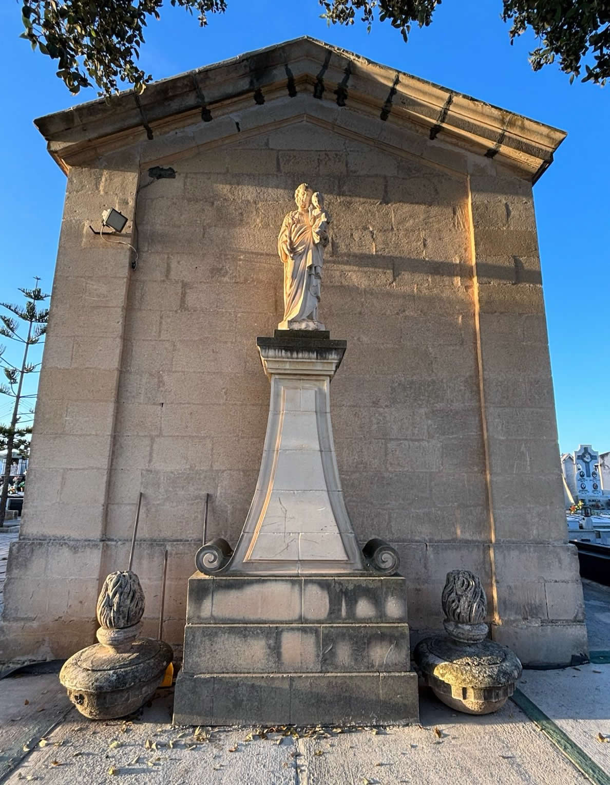
3. The Cemetery Chapel: Purpose and Architecture
At the architectural heart of the municipal grounds stands the official Duramblat Cemetery Chapel. It is critical to note that this specific building is distinct from the historic wayside shrine of *Santa Marija ta' Duramblat*, which sits further along the agricultural borderlands. The cemetery chapel was built specifically to serve the operational needs of the burial facility itself.
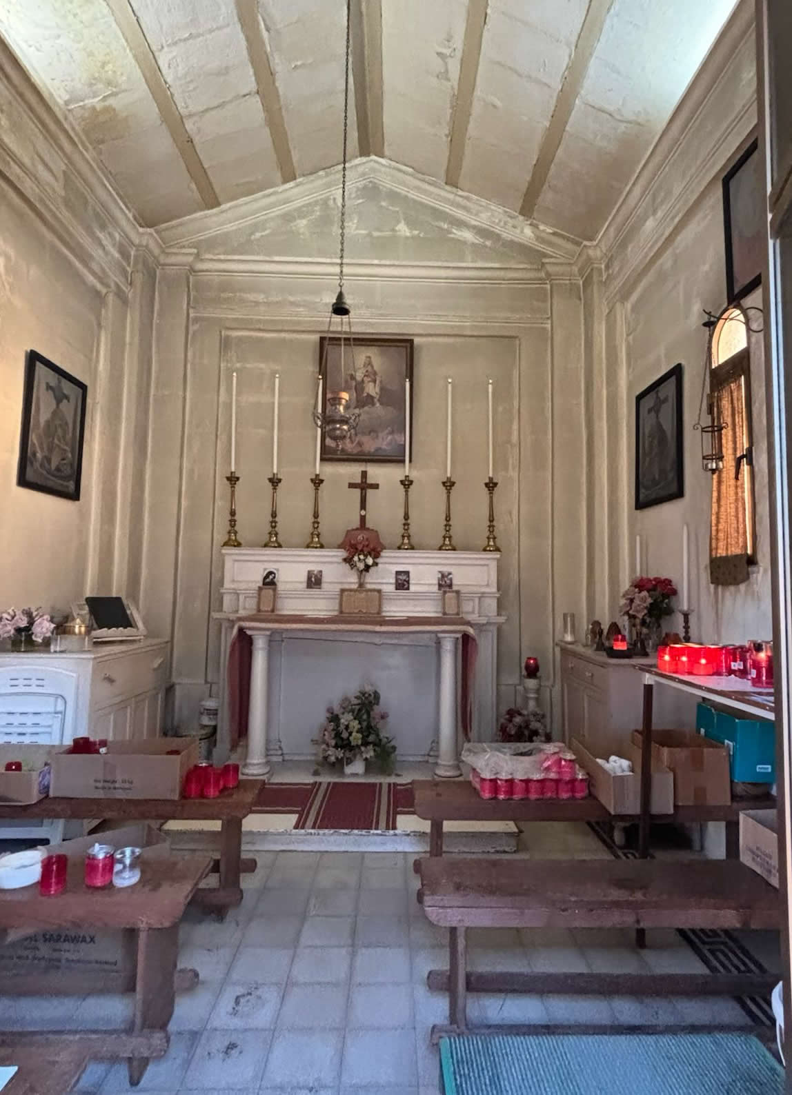
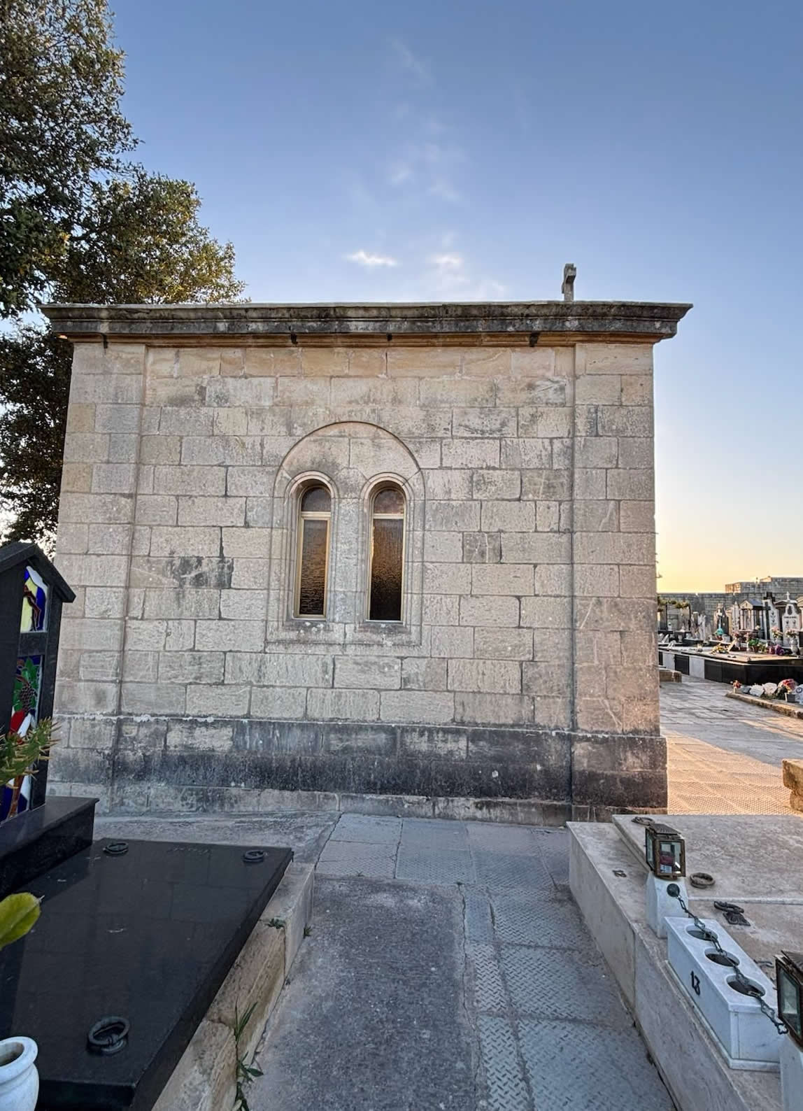
Architecturally, the chapel features a functional, dignified mid-to-late 20th-century design constructed from durable Maltese globigerina limestone. Its primary design purpose is liturgical convenience rather than ancient historical aesthetics. The interior consists of a clean, solemn, single-room hall designed to hold coffin supports, formal altar furnishings, and seating for mourning families during final committal ceremonies.
The chapel does not host regular daily parish masses. Instead, its use is strictly limited to receiving funeral corteges, hosting final commendation prayers, and providing a dignified space for spiritual reflection immediately preceding the physical interment of human remains within the adjacent grave rows.
4. Government Administration and Regulatory Protocols
As a public municipal facility, Duramblat Cemetery is fully owned by the Government of Malta. Operationally, it falls under the direct strict jurisdiction of the Burials Regulatory Unit (BRU), a department within the Environmental Health Directorate. This state body manages all legal, structural, and public health policies associated with the site.
In recent years, maintenance, cleaning, and day-to-day operations at the cemetery have been managed via public-private partnerships and specialized consortia scrutinized by health inspectors. This administrative approach ensures the site adheres to strict national environmental and hygiene standards, safeguarding visitors while maintaining the dignity of the final resting places.
5. Modern Urban Context and Zoning Challenges
The geographic setting of the Duramblat Cemetery has undergone unprecedented changes in recent years. Long surrounded by open agricultural land (ODZ) separating Mosta from Ta' Qali, the immediate perimeter of the cemetery has become a focal point for intense local urban planning discussions.
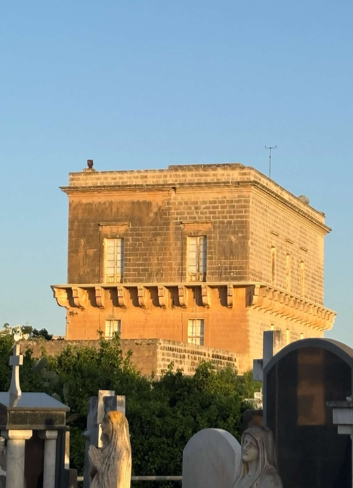
The Planning Authority has approved comprehensive rezoning initiatives for the massive Tad-Dib area directly adjacent to the cemetery along Triq Duramblat. This extensive 41,000-square-meter development zone is transitioning into a mixed-use residential and commercial neighborhood, slated to include low-rise apartment housing, open public parks, and designated commercial areas for shopping amenities. This rapid urban transformation has placed a strong emphasis on preservation; local councils have continuously lobbied to ensure that any new commercial or residential buildings include adequate buffer zones, preserving the quiet, respectful atmosphere required around the municipal cemetery borders.
6. Technical Dataset Profile
The profile below organizes the verified administrative, geographical, and operational metrics of the active Duramblat facility:
| Administrative Survey Parameter | Field Inventory Reference Data |
|---|---|
| Official Nomenclature | Duramblat Cemetery / Mosta Municipal Cemetery (Ċimiterju ta' Duramblat) |
| WGS84 Coordinate Grid | 35.902349 Latitude, 14.424966 Longitude |
| Operational Status | Fully Active / In Daily Public Use |
| Governing Body | Government of Malta (Burials Regulatory Unit / Environmental Health) |
| On-Site Chapel Function | Operational Cemetery Chapel / Funeral Commendation Services |
| Primary Location Context | Triq Duramblat, Mosta (Bordering Tad-Dib development zones) |
| Burial Formats Available | Privately owned family graves and government-managed common graves |
| Regulatory Exhumation Constraint | Minimum of 2 years from last interment required by national health law |
7. Frequently Asked Questions (FAQ)
❓ Is Duramblat Cemetery open for new burials today?
Yes. Duramblat Cemetery is a fully active municipal burial site. Interments take place regularly in accordance with schedules managed by local funeral directors and the national health authorities.
❓ Can the general public use the chapel located inside the cemetery?
The chapel inside the cemetery is reserved strictly for short funeral services, blessing ceremonies, and final prayers immediately prior to an interment. It does not function as a regular public parish church for daily mass.
❓ How do I apply for a grave space or handle inheritance at Duramblat Cemetery?
All legal procedures, including grave maintenance permits, transfers of ownership by inheritance, or deeds of donation, must be officially filed through a notary to the government's Burials Regulatory Unit.
❓ Is this site the same as the historic Santa Marija ta' Duramblat wayside chapel?
No. The historic 1648 wayside chapel of Santa Marija ta' Duramblat is a separate cultural landmark located further out in the fields. This webpage is dedicated to the active, large government cemetery complex situated at the given coordinate matrix.
