📍 Location
Location Map Coordinates 35.852829, 14.537762
Introduction and Naming Conventions
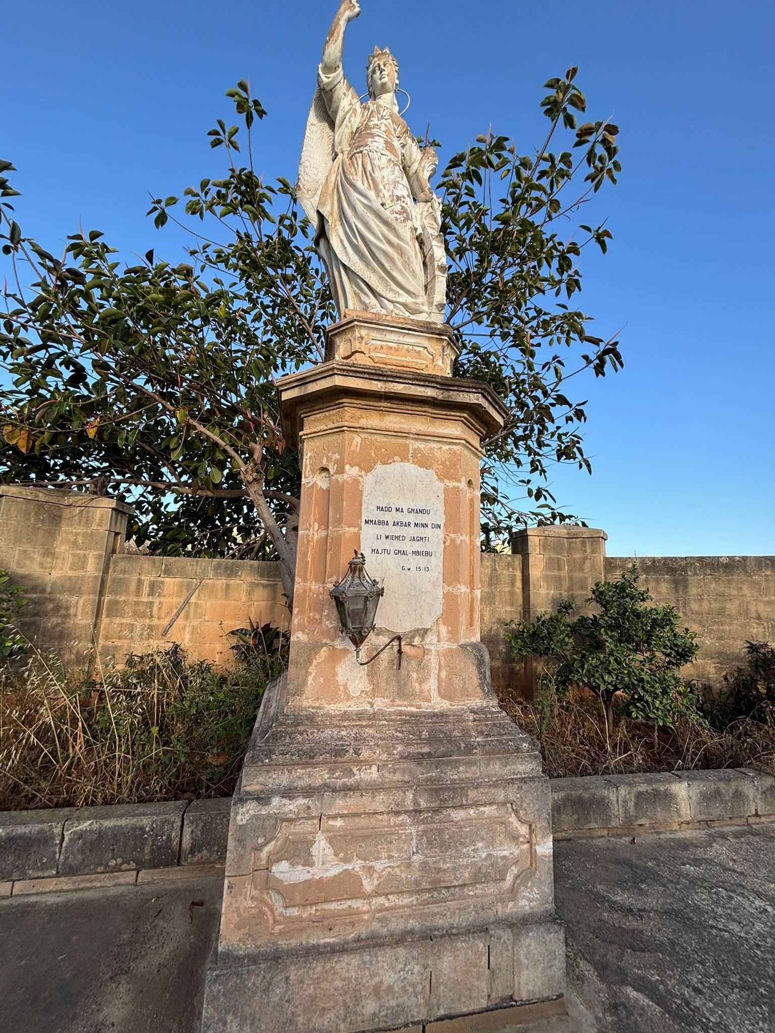
Within the historic topography of southeastern Malta, the burial precinct surrounding the ancient temple of St. Gregory's Old Parish Church Cemetery in Żejtun occupies a unique, multi-layered position. To fully understand this landscape, visitors must trace the complex naming history used by the local parish and municipal records. While the old church building itself is officially dedicated to St. Catherine of Alexandria (known locally as Knisja ta' Santa Katerina l-Antika), it has been colloquially known as St. Gregory's for centuries due to the famous annual national pilgrimage held on the first Wednesday after Easter Sunday.
Located at the coordinates of 35.852829, 14.537762, this site does not just contain one continuous graveyard. Instead, the parish details a complex matrix of overlapping funerary boundaries. Clustered tightly around the old church layout are three distinct historic burial spaces: the oldest walled plague enclosure of St. Rocco (Santu Rokku), the central St. Gregory Cemetery parvis vaults, and the dedicated St. Catherine's Cemetery plots right next to it. Together, this cluster forms an invaluable physical record tracking the evolution of Maltese burial customs through medieval raids and public health crises.
Technical Site Specifications & Administrative Data
Medieval Origins and Intramural Evolution
The origins of the burial space at St. Gregory's are fundamentally intertwined with the rise of the early Christian community in the southeastern district of Malta. Long before the arrival of the Order of St. John in 1530, a small chapel dedicated to St. Catherine of Alexandria stood on this high ridge overlooking the bays of Marsaxlokk and Marsascala. In the historic roll-call of Maltese parishes compiled by Senatore de Mello in 1436, this church was already firmly established as one of the twelve principal source parishes of the island.
Following medieval custom, the preferred burial site for families was intramural—directly within the interior floor of the nave. Parishioners believed that resting beneath the church floor, close to the altar and the relics of saints, provided spiritual protection for the soul in the afterlife. Over decades of continuous use, the floor of St. Gregory’s was completely filled with tightly packed stone vaults. These stone slabs were regularly lifted, the older skeletal remains neatly gathered into lower ossuaries, and new bodies laid to rest. This created a dense, overlapping layer of burials beneath the feet of worshipers.
The Renaissance Shift: The Parvis Enclosure
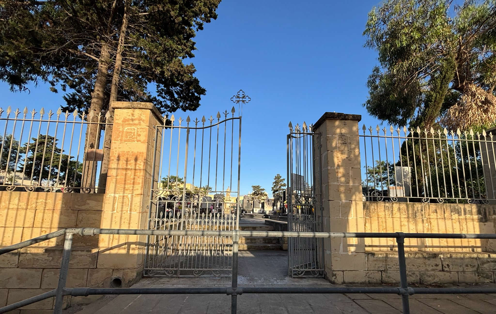
As the population of the Żejtun district expanded during the sixteenth and seventeenth centuries, the interior floor space of the church reached its absolute capacity. This physical limitation, combined with the structural changes made to expand the church into a large, three-aisled Renaissance building, forced the parish to move burials outdoors. This led to the creation of the wide, elevated stone parvis (known in Maltese as the Żuntier) that wraps around the north, west, and south facades of the building.
This raised parvis was not designed as a simple open public square; it was engineered from the beginning as an extension of the cemetery. Beneath the thick, flat stone paving flags, deep burial vaults were carved into the globigerina bedrock. Families who could not afford burial inside the nave purchased plots beneath the parvis stone slabs. To this day, looking closely at the flagstones outside the church reveals small, weathered carvings, chiseled serial numbers, and iron lifting rings that mark the entry points to these forgotten family vaults.
The Secret Secret Passages and Human Skeletal Discovery
The most mysterious and complex chapter in the history of St. Gregory's Cemetery took place within its defensive wall architecture. For generations, local rumors hinted at the existence of hidden passages inside the thick stone walls of the church, built to protect the community during the frequent, brutal raids by Ottoman corsairs and Barbary pirates along the southern coast.
The Historical Discovery of 1969
On the morning of April 11, 1969, local researchers Grezzju Vassallo, Michael Zahra, and team were investigating the upper levels of the south transept roof. Hidden behind a heavy block of stone, they uncovered the entrance to a narrow, hidden passage built directly inside the double-layered walls of the church. Crawling carefully into the dark, unlit corridor, they discovered a vast collection of loose human bones scattered across the floor, completely unburied.
The discovery sparked immediate intense historical and scientific debate. Initial popular theories suggested these bones belonged to unfortunate villagers who had fled into the hidden passages during an Ottoman pirate raid, only to be trapped and suffocate inside when the invaders blocked the exits. However, detailed anthropological and forensic analysis conducted on the skeletons in the late twentieth century disproved this dramatic narrative.
The scientific analysis revealed clear evidence of *exhumation*. The bones showed distinct traces of damp soil staining and lacked small, anatomical joint connections, proving that these bodies had not died in the passage. Instead, they had been carefully dug up from the main church floor or parvis graves after initial decomposition. Historians now conclude that during a severe public health crisis—most likely the catastrophic 1675–1676 plague epidemic—the church floor had to be cleared instantly to create room for new burials. The old, dried bones were quickly gathered and transferred into these hidden wall passages, using them as an emergency extension of the parish ossuary system.
The 1676 Plague and Spatial Overload
When the devastating bubonic plague wave of 1675–1676 struck Malta, killing over 11,000 citizens nationwide, the burial systems at St. Gregory's completely collapsed under the strain. During the peak summer months of 1676, the mortality rate in the Żejtun district climbed so fast that traditional individual burials under the nave floor or parvis slabs became impossible to manage safely. The buildup of dangerous gasses within the church threatened to halt religious services completely.
This unprecedented crisis forced the Order of St. John's health commissioners to make a major spatial shift. They prohibited further burials inside the church and immediately built the walled, isolated St. Rocco Plague Cemetery right along the eastern wall of the church grounds. For a brief, terrifying period, St. Gregory’s historic cemetery acted as a sorting line: non-infected parishioners were buried under strict quarantine rules beneath the outdoor parvis slabs, while those showing the dark plague swellings (*buboes*) were taken directly to the adjacent St. Rocco trenches and covered in deep layers of quicklime.
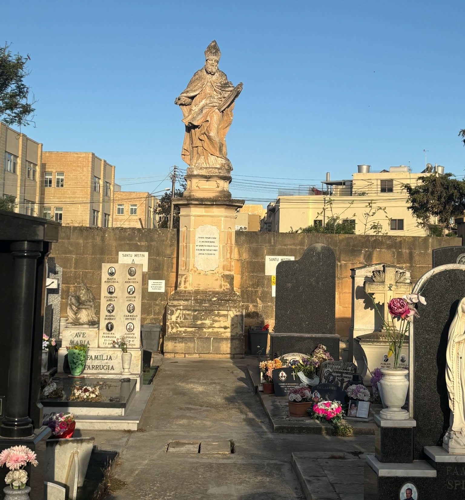
The St. Catherine Parish Cemetery Extension
Directly adjacent to the historic parvis of St. Gregory sits the formal St. Catherine’s Cemetery. While the interior vaults and parvis slabs reflect medieval and early modern emergency burial habits, this adjacent sector was developed by the parish to provide structured, consecrated ground for the locality as public health laws evolved in the late 18th and 19th centuries.
As the Order of St. John—and later the British administration—strictly banned intramural church burials due to hygiene concerns, this specific plot next to the old temple became the primary active cemetery for families within the Żejtun parish boundary. It bridges the gap between the chaotic, quicklime plague trenches of the neighboring 1676 St. Rocco enclosure and the highly organized modern municipal cemeteries found elsewhere across Malta today.
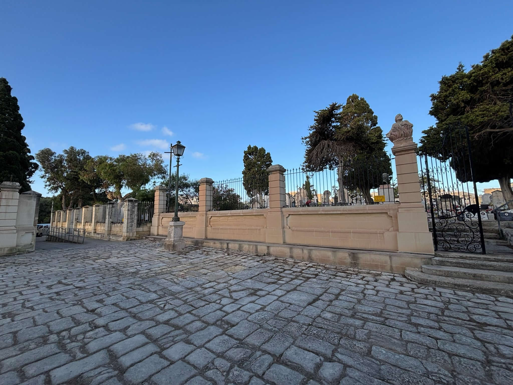
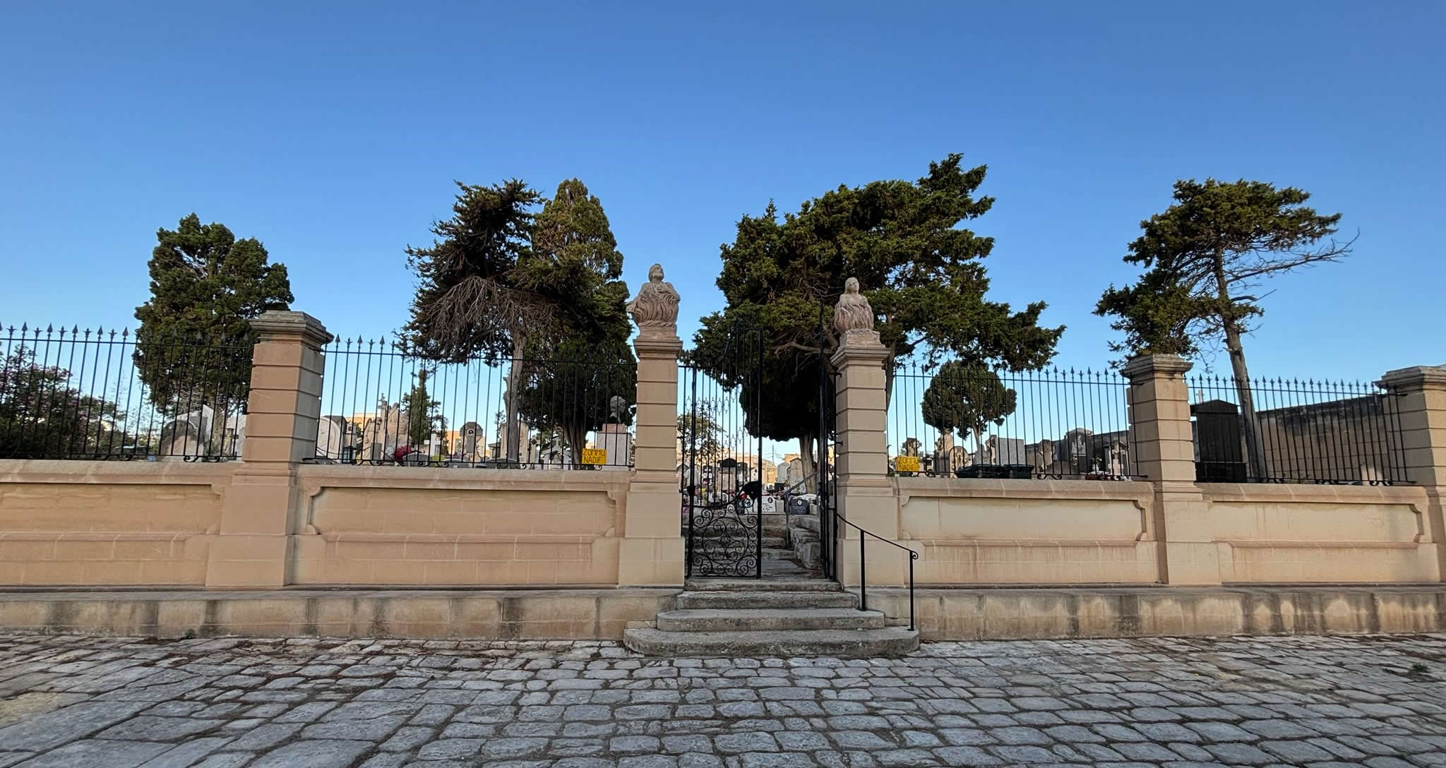
Architectural Restoration and Conservation Campaigns
Being located on a high ridge exposed to strong marine winds from the south-eastern coast, the exterior limestone of St. Gregory's cemetery and parvis has suffered from centuries of environmental weathering. Rising dampness and salt crystallization caused severe honeycombing and erosion across the old burial slabs and surrounding walls.
Over the past few decades, the site has been the focus of major conservation projects managed by the Restoration Directorate, the ecclesiastical authorities, and local heritage organizations. The restoration work followed strict scientific preservation rules:
- Removal of Cement patches: Hasty, modern cement repairs added during the mid-twentieth century were carefully removed. These hard patches had trapped moisture within the soft globigerina limestone, accelerating internal stone decay.
- Desalination and Lime Grouting: The delicate limestone blocks surrounding the parvis vaults were treated with specialized paper pulp packs to draw out harmful subsurface sea salts. The deep joints between the slabs were then resealed using traditional lime-and-sand mortars.
- Securing the Hidden Passages: The internal wall passages containing the historic bone collection were fitted with climate-monitoring sensors to control humidity and protect the fragile skeletal remains from rapid decay, while keeping the structural integrity of the medieval walls completely secure.
eMalta Epidemic Heritage Directory Network
To assist your research into Malta's historical response to infectious disease outbreaks, explore our fully mapped, interconnected sister pages detailing other surviving and lost epidemic sites across the islands:
- Cemetery Hub: Cemeteries of Malta and Gozo (Master Index Map)
- Plague Cemetery Hub: Historical Plague & Cholera Cemeteries of Malta and Gozo (Master Index Map)
- The Immediate Neighbor: St. Rocco Walled Plague Enclosure, Żejtun
- The Urban Counterweight: Iċ-Ċimiterju tal-Infetti, Bormla (The Three Cities 1676 Enclosure)
- The Enveloped Medieval Valley: The 1592-1593 Harbor Plague Grounds, Pietà
- The Lost Heritage: The Infetti Grounds & Santu Rokku Alleys, Birkirkara (1813 Outbreak)
- The Rural Parish Outskirts: Ras il-Weħla / Triq Paris Emergency Fields, Ħaż-Żebbuġ
- The Erased Roadway Footprint: Santa Luċija tal-Barrani Chapel Boundary Pits, Għaxaq Outskirts
- The Rock-Cut Slabs of the North: Misraħ il-Plakka Bedrock Pits, Mellieħa Ridge Line