📍 Location
Location Map Coordinates 35.852688, 14.538201
Introduction and Site Overview
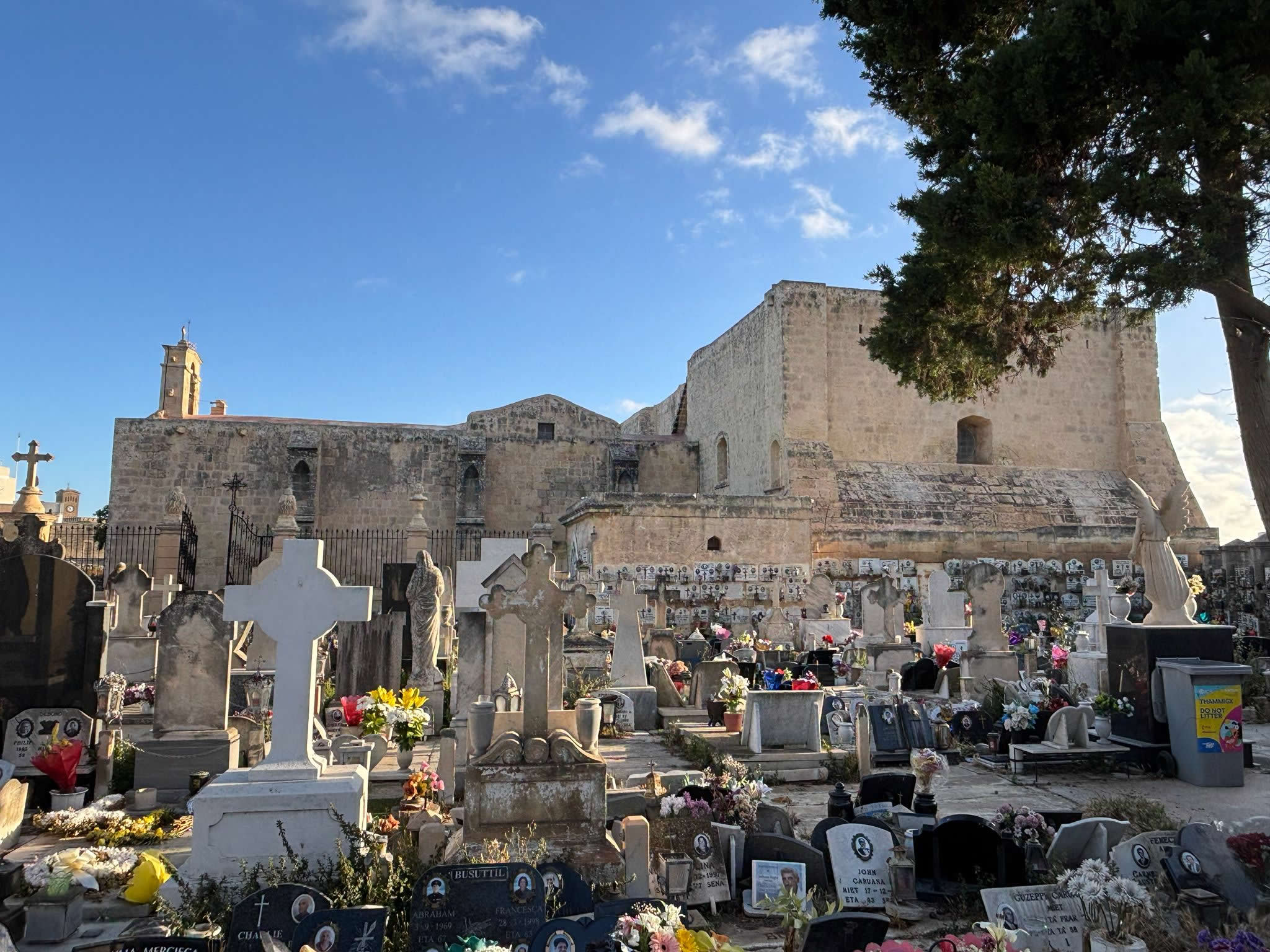
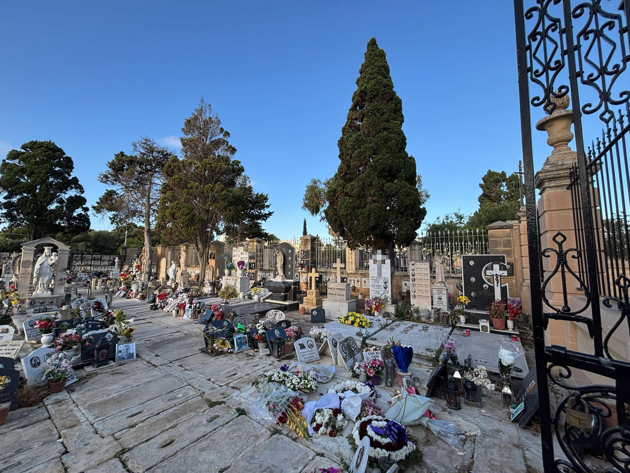
The historical landscape of the Maltese Islands is deeply etched with the architectural scars of sudden, devastating epidemics. Among these, the St. Rocco Cemetery (known locally in the vernacular as Iċ-Ċimiterju ta' San Rokku or Il-Klaużura ta' San Rokku) in the ancient south-eastern town of Żejtun stands as a remarkable, intact specimen of late-seventeenth-century public health infrastructure. Situated directly adjacent to the foundational medieval complex of St. Catherine’s Old Church (famously designated as St. Gregory’s Church), this small, stone-walled mortuary enclosure serves as an eloquent silent witness to the catastrophic demographic collapse that struck the Maltese population during the Great Plague wave of 1675–1676.
While urban expansion and aggressive transport developments across the twentieth century altered, compromised, or completely erased peer structures within the harbor region, the Żejtun enclosure retained its distinct spatial footprint. This comprehensive survey aims to dissect the structural, historical, administrative, and socio-religious attributes of this critical heritage asset, providing researchers, genealogists, and historical topographers with an authoritative analytical index framework.
Key Archaeological & Topographical Data
The 1675–1676 Plague Epidemic: Context of Terror
To fully grasp the structural impetus behind the construction of the St. Rocco enclosure, one must examine the geopolitical and medical crisis gripping Malta in the winter of 1675. Under the rule of Grand Master Nicolas Cotoner, the Order of the Knights Hospitaller of St. John governed an island that had evolved into a bustling maritime nexus within the central Mediterranean. This commercial success brought severe epidemiological vulnerabilities. On December 24, 1675, the highly contagious bubonic plague vector crossed the threshold of Valletta’s harbor fortifications, likely introduced via infected textile cargo or maritime personnel arriving from North African or Levantine ports.
Initially misdiagnosed or intentionally suppressed by local health officers to prevent an economic blockade, the infection quickly breached the Grand Harbour lines. By early 1676, the transmission curve spiked exponentially. Historical demographic estimates suggest that between January and August of 1676, Malta lost roughly N_{lost} \approx 11,300 individuals out of a baseline national pool of roughly 60,000 citizens—a staggering mortality rate exceeding 18% of the total population. The southern *casali* (villages), including Żejtun (then including the territories of modern Għaxaq, Marsaxlokk, and Zabbar), were hit with exceptional ferocity due to their tight agricultural communities and shared water collection reservoirs.
The Emergency Paradigm: Discovery and Construction
Before the mid-seventeenth century, the universal funerary custom across the Maltese archipelago dictated that burials take place inside parish churches. Deceased parishioners were deposited directly beneath stone slabs in the nave floor or within family crypts. However, as the daily death toll in Żejtun climbed into double digits during the peak spring months of 1676, this traditional system failed fundamentally. The floor cavity of St. Catherine’s Old Church could no longer physically contain the sheer volume of decomposing corpses, and the accumulation of what contemporary early modern medicine classified as "pestilential miasma" threatened to poison the air of the church interior completely.
Faced with this spatial crisis, the regional health commissioners (*Commissari di Sanità*) appointed by Grand Master Cotoner enforced an emergency extramural burial mandate. They selected a plot of agricultural land immediately abutting the outer lateral wall of St. Catherine's Church. This layout was intentionally designed to fulfill two parallel needs: maintaining a physical connection to a consecrated church structure while isolating infected corpses outside the primary worship space.
The construction was completed rapidly using local globigerina limestone blocks. Unlike normal rural boundary walls (*ħitan tas-sejjieħ*), which were piled dry without binding agents, this plague cemetery wall was built as a formal, continuous barrier sealed carefully with a lime mortar mix. This structural decision was born out of early medical panic: the health authorities believed that if the soil containing plague victims was disturbed by burrowing animals or agricultural plowing, dormant plague particles could escape and trigger a secondary outbreak.
Architectural Morphology and Spatial Layout
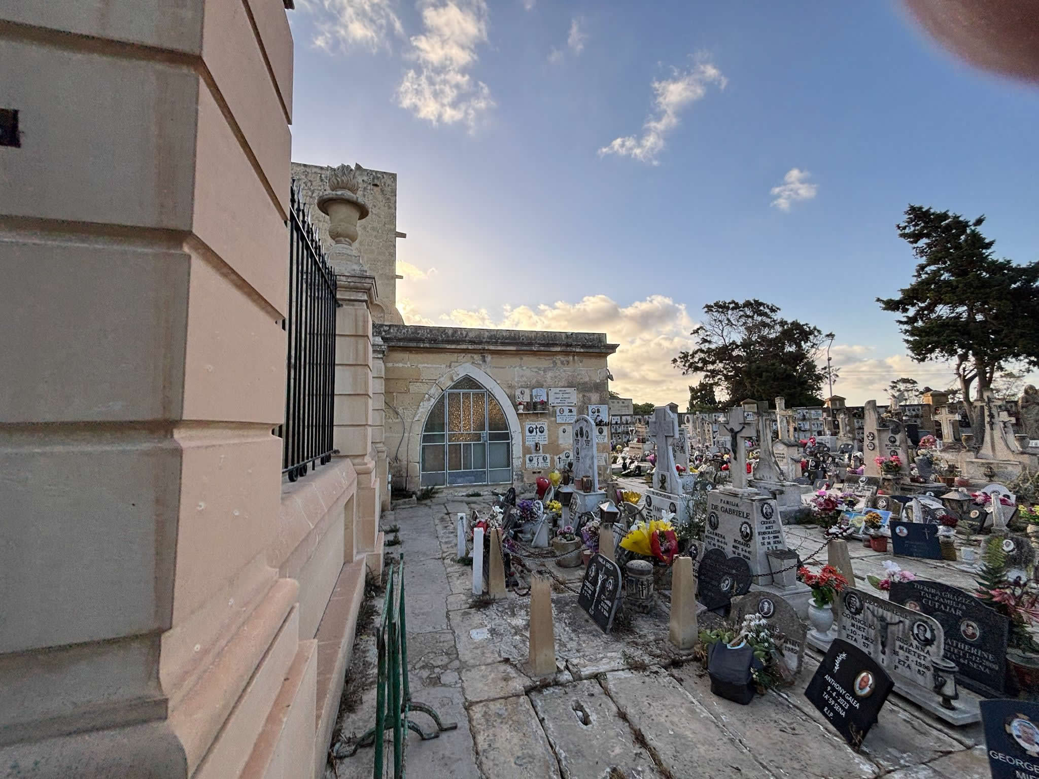
Architecturally, the St. Rocco Cemetery in Żejtun is categorized as an early modern *clausure* or emergency quarantine burial vault. Its spatial perimeter forms a compact rectangular configuration that utilizes the strong, preexisting medieval ashlar masonry of St. Catherine's old transept as its eastern support anchor. The enclosing wall rises to an approximate height of two and a half meters, a vertical boundary purposely designed to deter unauthorized access and prevent livestock grazing.
The primary architectural details to look for include:
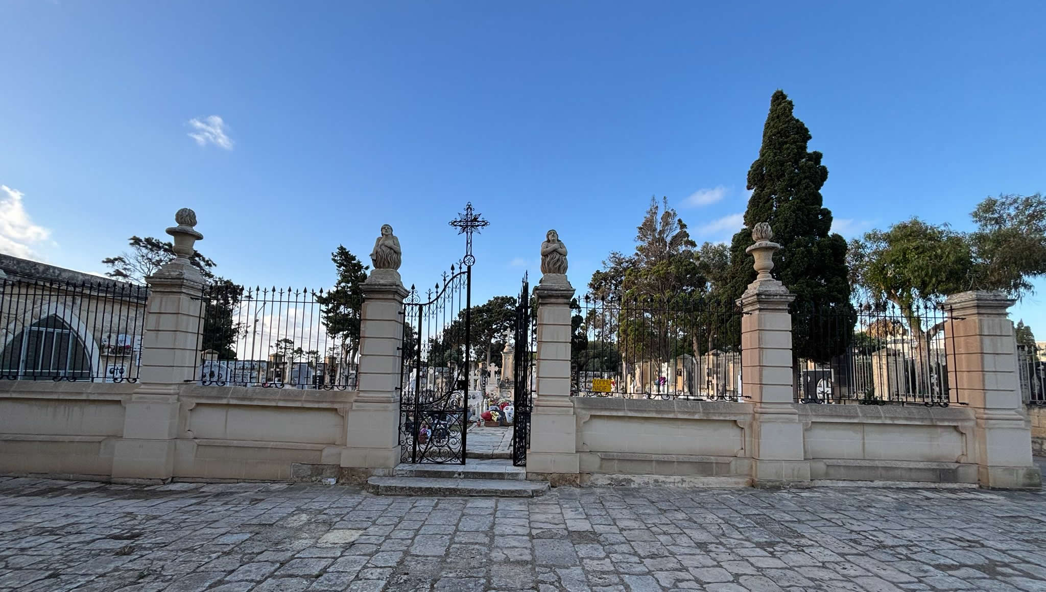
- The Monolithic Entry Gate: Access to the interior was strictly restricted via a narrow, stone-framed entry portal. This portal features basic lintel details typical of late seventeenth-century rural Maltese vernacular engineering.
- Votive Commemorative Niches: Built into the outer skin of the enclosure walls are small recessed niches. Historically, these niches contained oil lamps and rudimentary fresco depictions of the souls in Purgatory, allowing families to stand at a safe distance and pray for their relatives without physically stepping onto the contaminated soil.
- Internal Crypt Grates: The ground level inside the enclosure was heavily packed with lime slurry. Deep, trench-like communal pits were excavated into the underlying upper coralline bedrock stratum. Once filled with corpses, these trenches were flooded with quicklime to accelerate decomposition and seal the biological material securely.
The Historic Maritime Graffiti
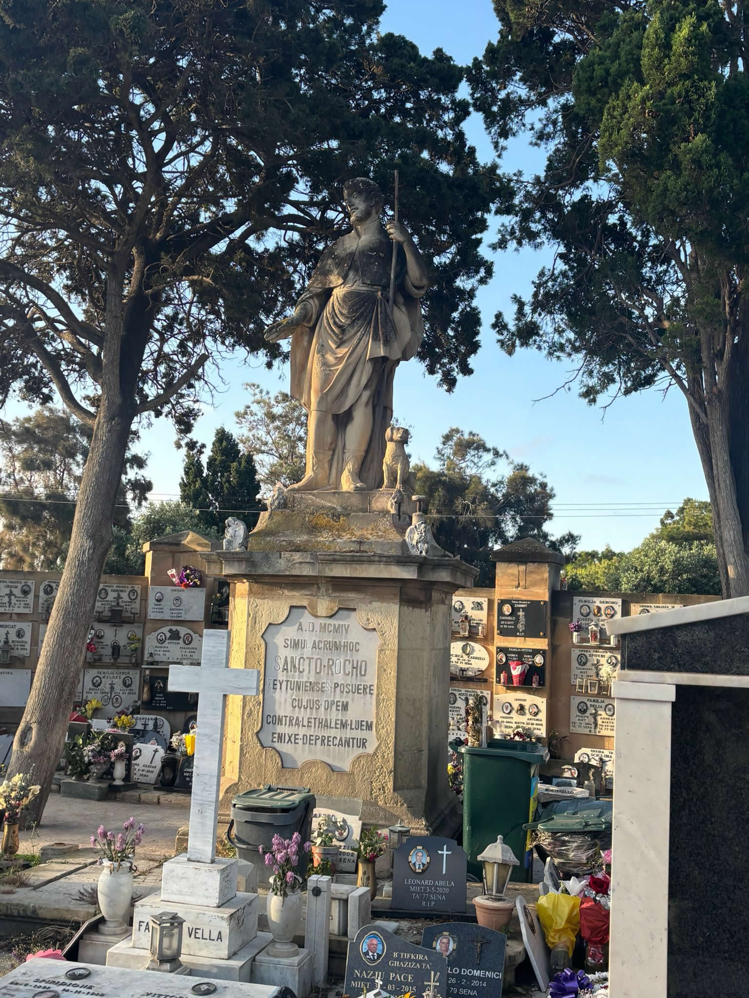
One of the most fascinating features of the St. Rocco enclosure is found on its external limestone walls. Mariners and locals seeking protection from the plague carved detailed graffiti of historical sailing ships into the soft globigerina stone. These ship carvings serve as an archaeological record of the community's maritime anxieties during the epidemic. Visitors can see depictions of traditional Mediterranean vessels, including *galleys* of the Order and *speronaras*, which were carved into the walls as protective symbols or ex-voto markings asking St. Catherine and St. Rocco for safe passage through the crisis.
Restoration Epoches and Conservation Campaigns
Over the three centuries following the 1676 crisis, the soft globigerina limestone blocks of the cemetery wall suffered severely from salt crystallization, wind abrasion, and biological growth. Being located near the south-eastern coast meant the structure was constantly exposed to marine winds carrying airborne sea salt. This caused widespread alveolar weathering (honeycombing), threatening to collapse portions of the perimeter enclosure.
Recognizing the historical importance of the site, a major collaborative restoration campaign was launched in the late twentieth and early twenty-first centuries by the Żejtun Local Council, heritage non-governmental organizations like *Din l-Art Ħelwa*, and central conservation departments. The restoration followed strict architectural conservation protocols:
First, all modern cement-based mortars applied during hasty mid-twentieth-century maintenance cycles were carefully removed. These hard, non-porous mixtures had trapped moisture within the soft limestone blocks, accelerating internal stone rot. Second, damaged blocks were replaced using matching globigerina limestone quarried from nearby fields. Finally, the masonry was repointed using a traditional lime-and-sand mortar mix, and the historic maritime graffiti was carefully cleaned and stabilized to protect it for future generations.
eMalta Epidemic Heritage Directory Network
To assist your research into Malta's historical response to infectious disease outbreaks, explore our fully mapped, interconnected sister pages detailing other surviving and lost epidemic sites across the islands:
- Cemetery Hub: Cemeteries of Malta and Gozo (Master Index Map)
- Plague Cemetery Hub: Historical Plague & Cholera Cemeteries of Malta and Gozo (Master Index Map)
- The Urban Counterweight: Iċ-Ċimiterju tal-Infetti, Bormla (The Three Cities 1676 Enclosure)
- The Enveloped Medieval Valley: The 1592-1593 Harbor Plague Grounds, Pietà
- The Lost Heritage: The Infetti Grounds & Santu Rokku Alleys, Birkirkara (1813 Outbreak)
- The Rural Parish Outskirts: Ras il-Weħla / Triq Paris Emergency Fields, Ħaż-Żebbuġ
- The Erased Roadway Footprint: Santa Luċija tal-Barrani Chapel Boundary Pits, Għaxaq Outskirts
- The Deep Southern Fields: Iċ-Ċimiterju ta' San Leone, Bubaqra Outskirts, Żurrieq
- The Rock-Cut Slabs of the North: Misraħ il-Plakka Bedrock Pits, Mellieħa Ridge Line
Frequently Asked Questions (FAQ)